Day 1 - Saturday - Memorial Day weekend
We left the house for the marina at 6:50 AM - ten minutes ahead of schedule - a miracle! But, when we got to the marina a strong thunderstorm started and we had to sit that out. By the time we were actually underway it was 9AM and we were now an hour behind schedule! Oh well easy come, easy go.
We had a pretty good day of sailing - most of it in fact. We dropped the hook in Horn Harbor at about 4:30 PM.
|
|
|
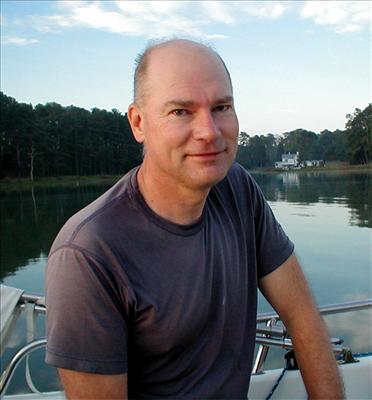
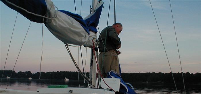
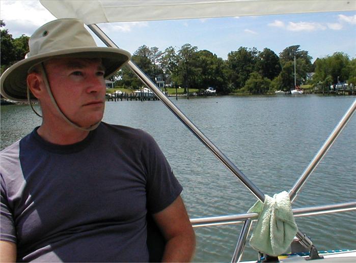
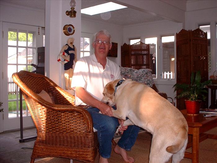
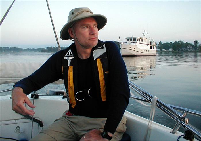
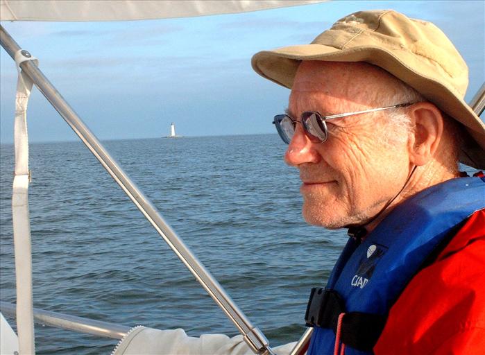
Jonathan As the sun goes down it actually gets quite cool - in the 50s and it's almost June! |
|
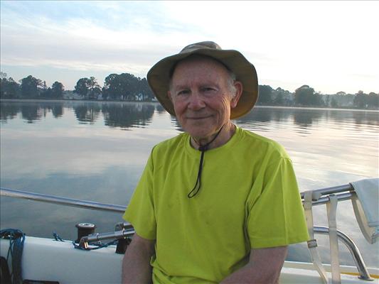
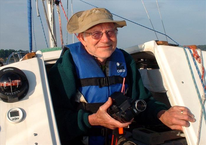
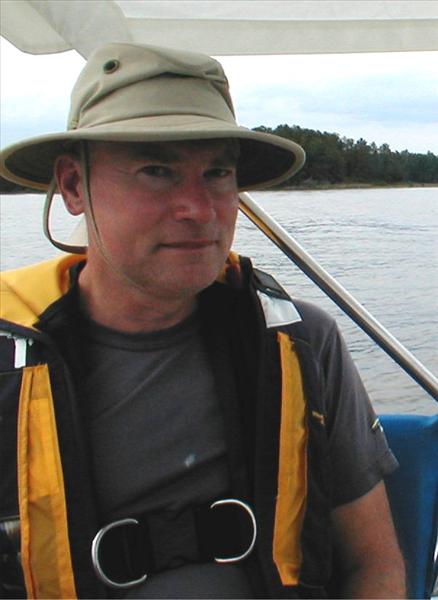
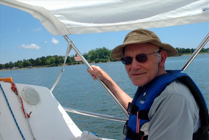
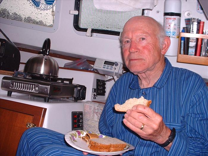
| Dad | |
|
|
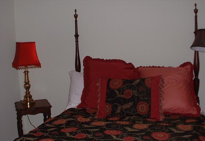
| In the evening it starts to get a little cool. | |
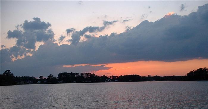
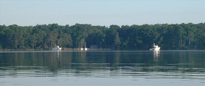
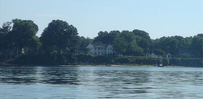
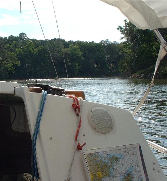
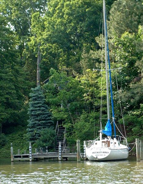
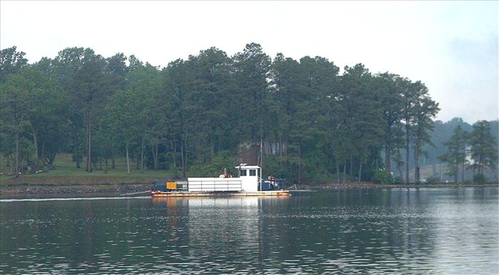
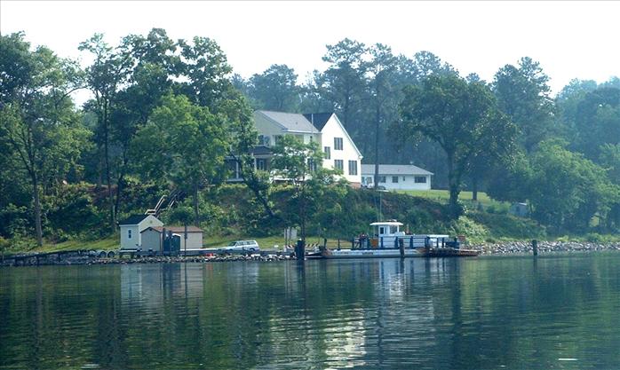
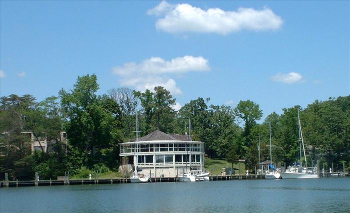
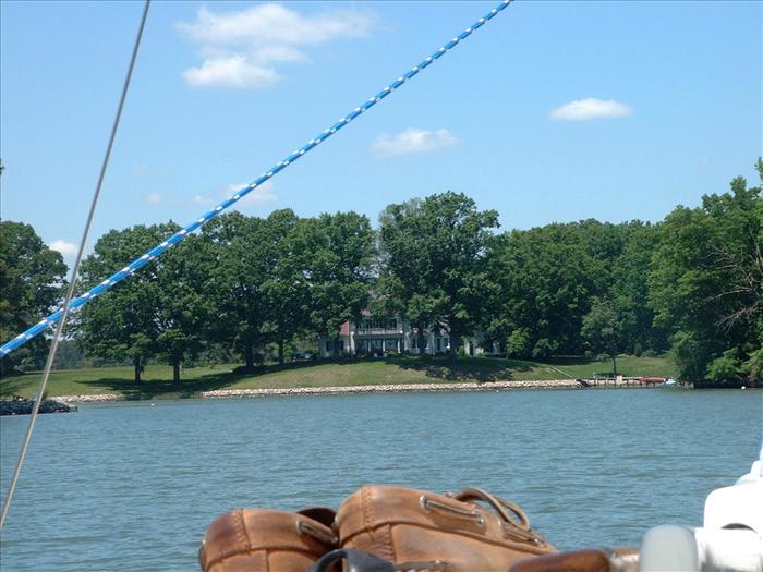
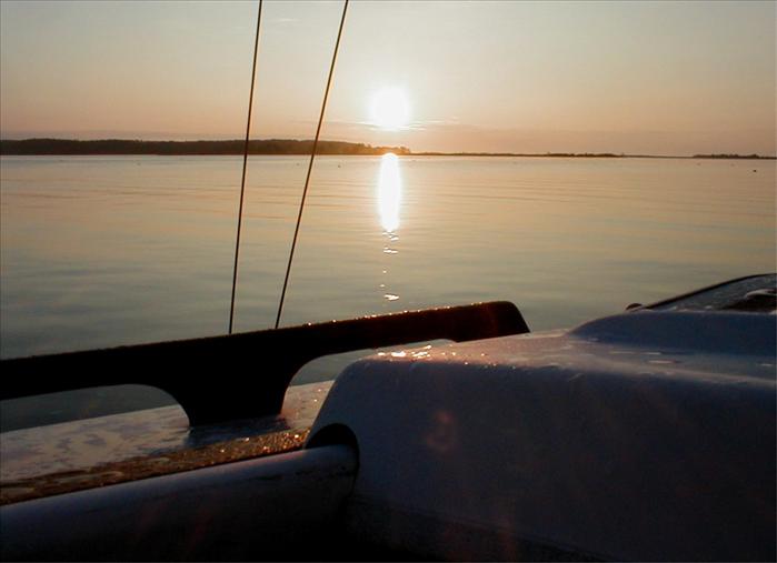
Sunset at Horn Harbor after a leisurely dinner and listening to Prairie Home Companion. We were anchored in the middle section of the harbor which is more isolated from development. This anchorage is not particularly well protected from the wind. A kayaker stopped by and chatted with us for a while. He suggested that we not go around Gwynn Island to the Piankatank but cut through using the "Hole in the Wall" which he said would save a lot of time. The cruising guide recommended against that approach but he assured me that for my size boat I wouldn't have any problem so I said that we would try it.
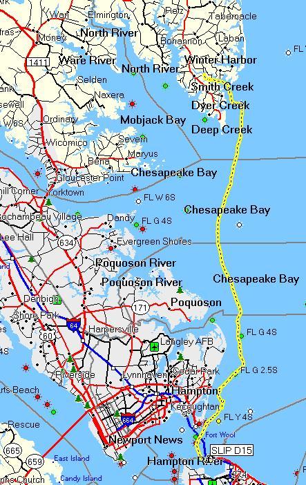
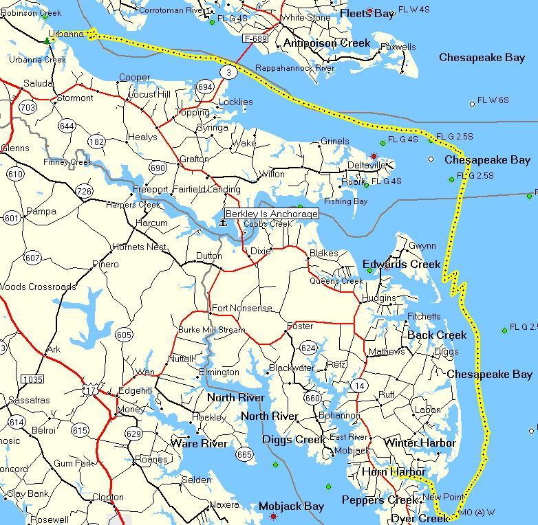
Day 1 - From Willoughby Harbor marina to Horn Harbor - 33.9 miles. Good progress for the first day.
Day 2 - Sunday - On our way to Berkley Island
|
|
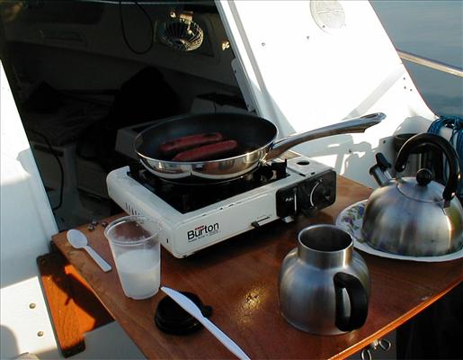
| Breakfast the next morning was Johnson's Bratwurst and donuts. | |
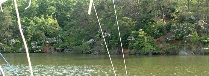
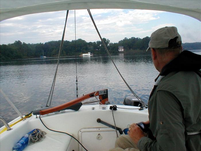
| Per our kayaking friend we went through the "Hole in the Wall" rather than going around Gwynn Island. The approach was a little difficult and the power boaters just zoomed in and out. Of course it was Memorial Day weekend. While there we explored Stutts Creek which was nice and had a lot of good anchorages. The area was pretty developed and for some reason we didn't get any pictures. Then we transited Milford Haven and exited through the swing bridge into the Piankatank. It was all interesting and I'm glad we took this route. | |
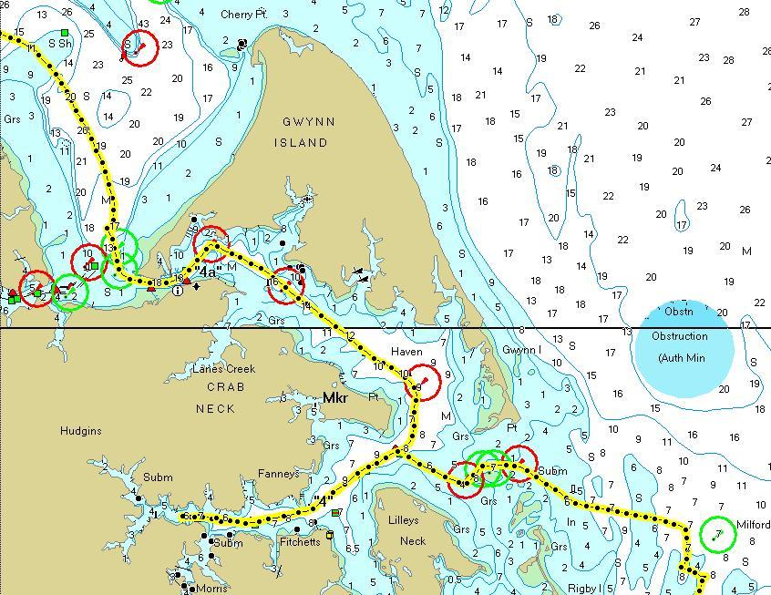
Our destination was Berkley Island which got a good write up in the cruising guide. It was interesting in that just prior to the island was a bridge with a 30 foot clearance. The bridge prevented larger sailboats from getting any further and just prior to the bridge that were several sailboats anchored out.
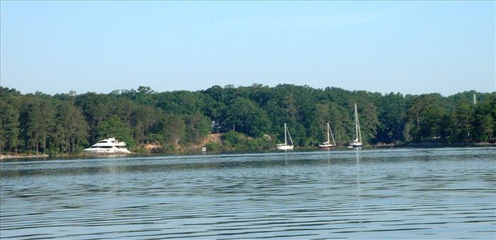
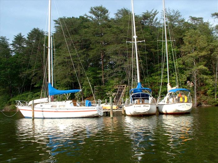
Anchorage on Wilton Creek, just prior to the bridge, where sever sailboats were anchored out. In this picture you can't see all the way into the creek but I believe I counted six sailboats.
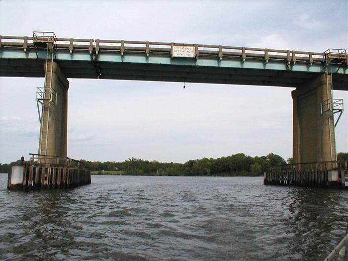
Highway 3 Bridge with 30 foot clearance.
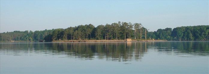
Upon arrival at Berkley Island we circled the island to find the best anchorage. There were already several boats anchored at but there was plenty of room for everybody.
Day 2 - Horn Harbor to Berkley Island - 37.1 miles
Day 3 - Monday - Memorial Day - On our way to the Corrotoman
Sunrise at Berkley Island. Winds were supposed to be light so before we got underway I changed out the jib for the Genoa.
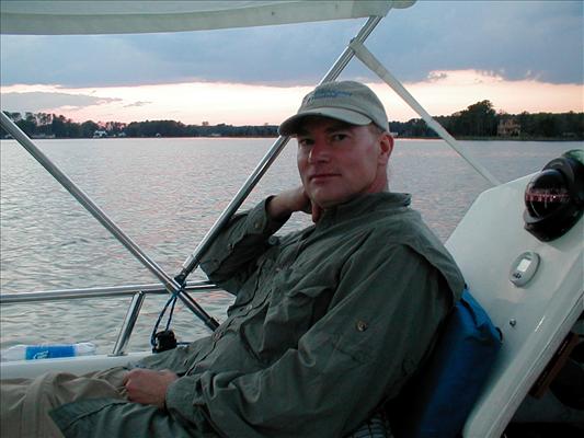
Dad getting ready to shoot some video as we leave Berkley Island.
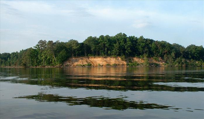
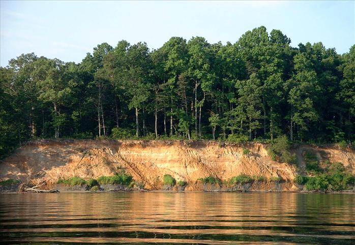
We took a closer look at one of the bluffs visible from Berkley Island.
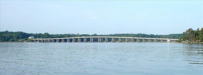
The Highway 3 bridge over the Piankatank.
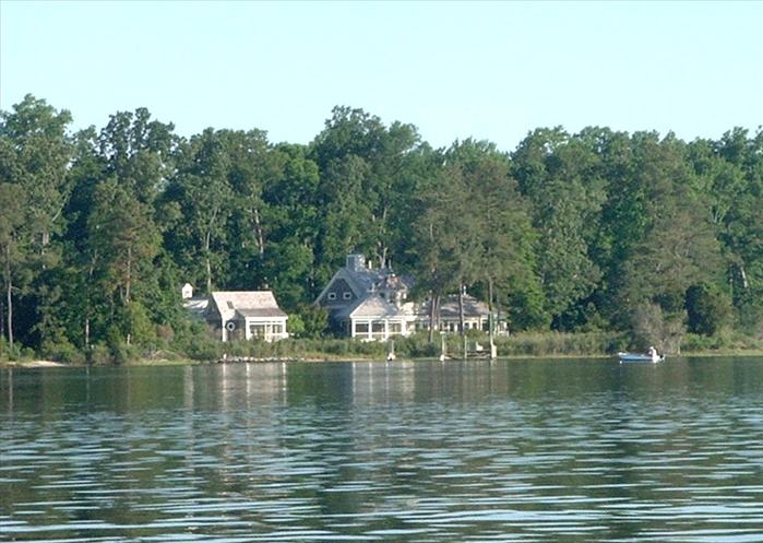
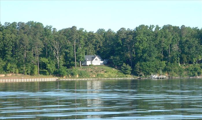
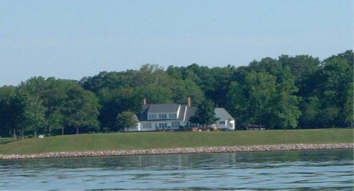
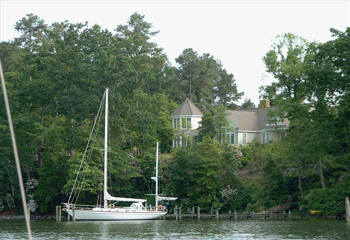
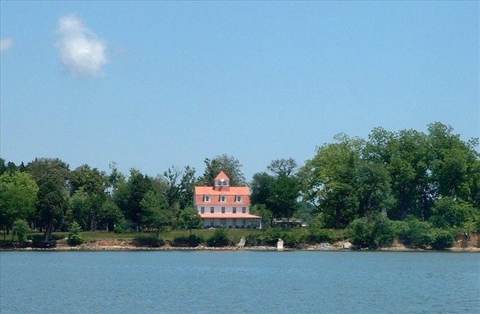
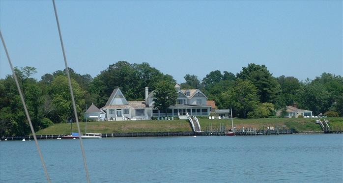
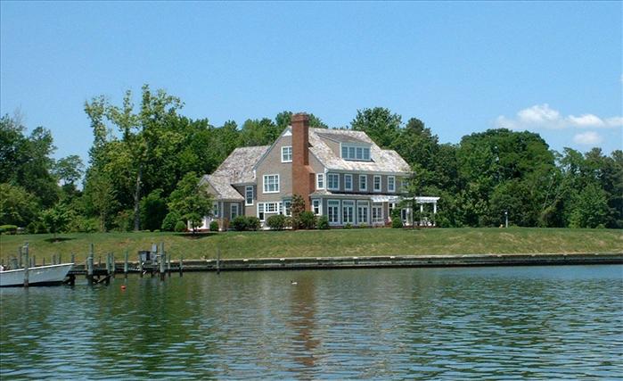
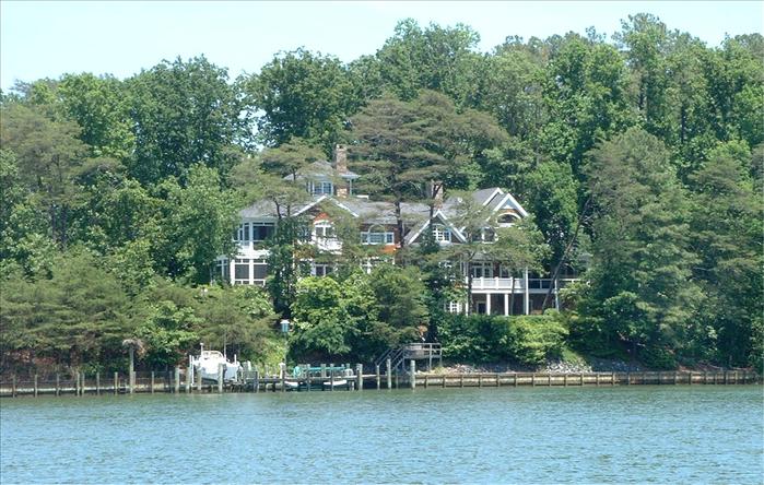
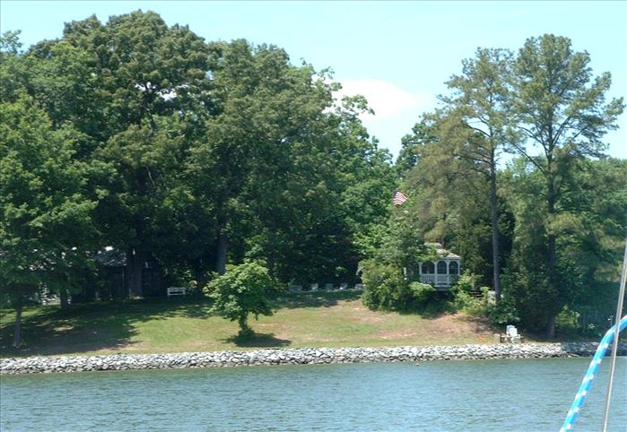
Pictures of homes on the beautiful Piankatank River.
It was somewhat breezy when we went to sleep so we tied the halyards back to the shrouds to keep they from slapping against the mast.
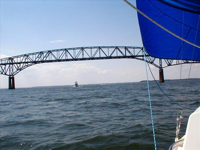
After rounding Sting Ray Point (which is way out there!) we are on the Rappahannock River. Approaching the Highway 3 bridge on the Rappahannock.
By the way Sting Ray Point got its name because Captain John Smith was stung by a Sting Ray there. In fact he had instructed his crew to dig his grave - but fortunately he recovered.
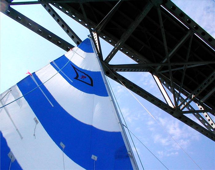
Under the bridge we go (the jib is still up you just can't see it from this angle).
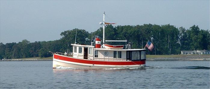
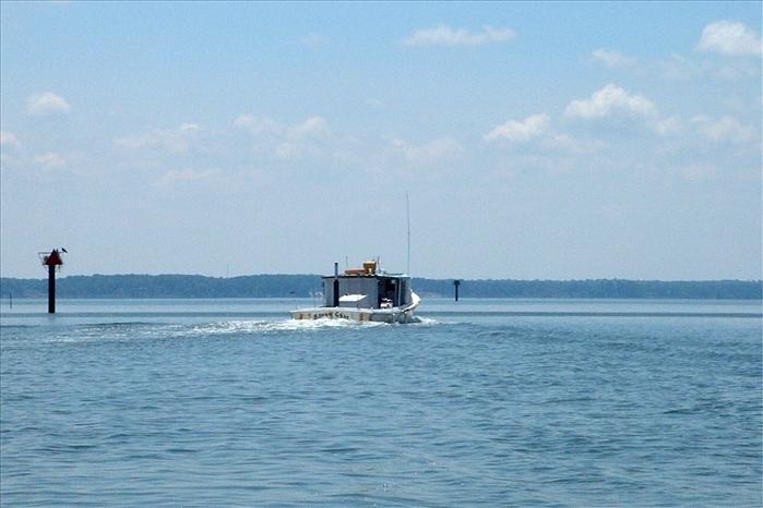
An interesting little vessel.
On the eastern branch of the Corrotoman River heading up Hills Creeks to take a peek a Alan's house.
I thought was Alan's house but it turned out that his was just around the corner.
We are now out of Hills Creek and back into the Eastern Branch of the Corrotoman River looking for a little deeper anchorage for the night.
We wanted something more open than the creek hoping to avoid mosquitoes.
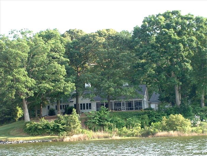
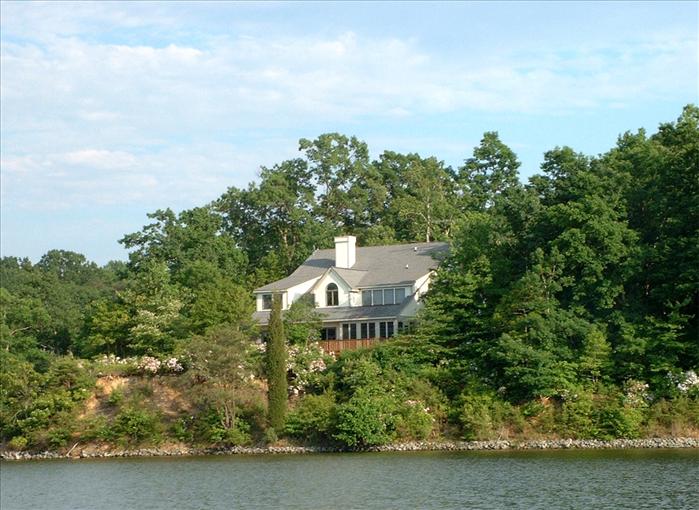
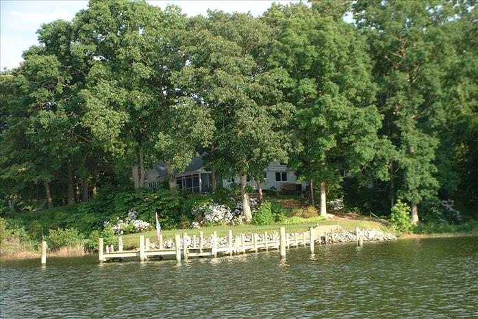
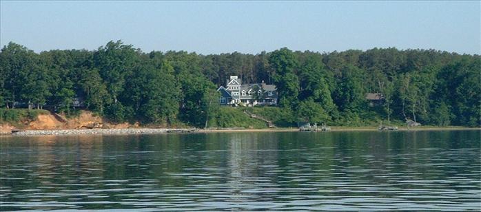
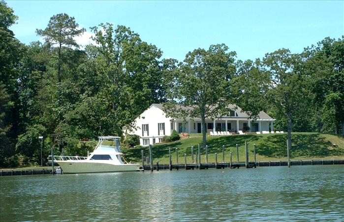
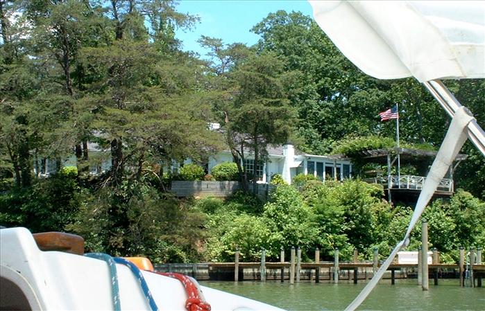
More beautiful homes on the Easter Branch of the Corrotoman.
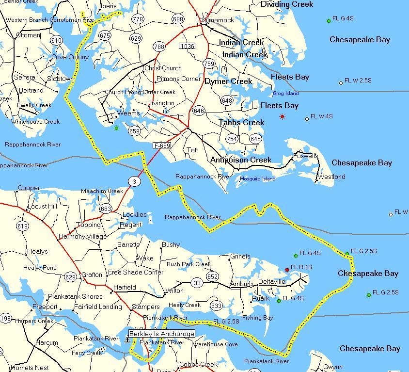
Day 3 - Berkley Island to Eastern Branch of Corrotoman - 38 miles. As indicated by all the tacking, lots of sailing! (yeah)
Notice the name Antipoison creek - this is where Native Americans were supposed to have obtained an antidote for the sting ray sting of Captain John Smith.
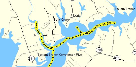
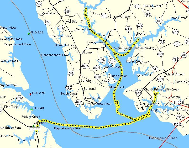
A detailed look at the Eastern Branch of the Corrotoman and Hills Creek. We anchored in the large bay area where the track terminates.
Day 4 - Tuesday - Exploring the Western Branch of the Corrotoman, Carter Creek and Urbanna Creek
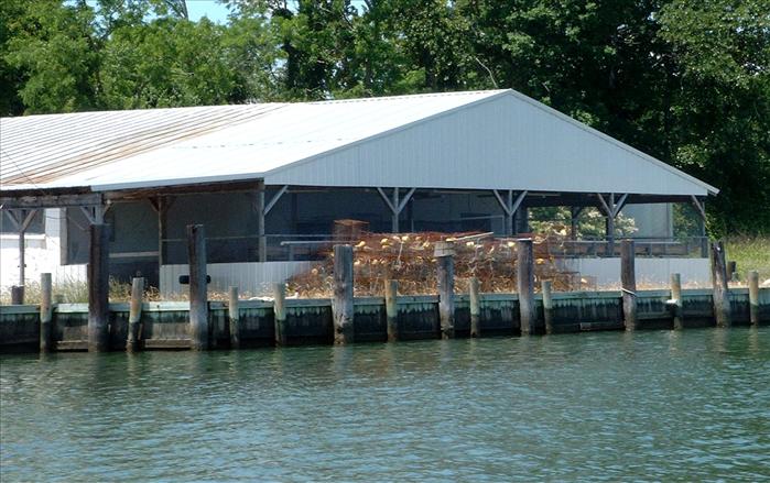
The Corrotoman Western Branch two car cable ferry. We watched it cross at least a half a dozen times. It is a busy little ferry
I wonder if this is a private ferry and if so how much it charges per vehicle crossing.
One ferry landing.
The home ferry landing.
We spent about two hours near the mouth of the Corrotoman calibrating the Kerrie Lynne's compass.
It was one of the things I wanted to do on this trip and the water was nice and calm so this was a nice time to do it. I'm sure the other boaters were wondering what the heck I was doing going back and forth all over the place. We also calibrated the compass in the Auto Pilot.
Exploring Carter Creek off the Rappahannock
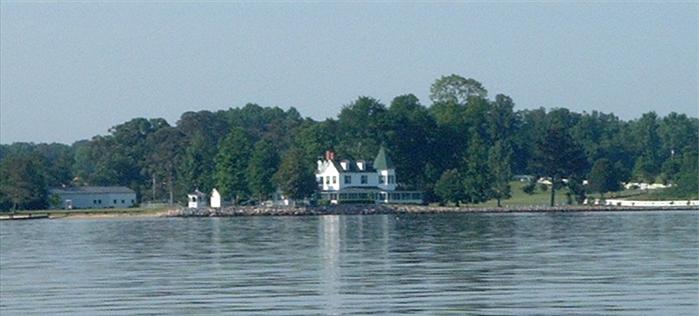
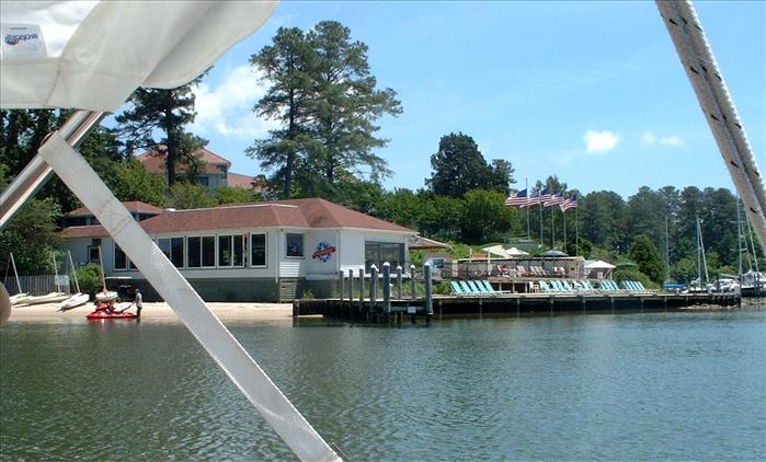
The Tides Inn on Carter Creek off the Rappahannock.
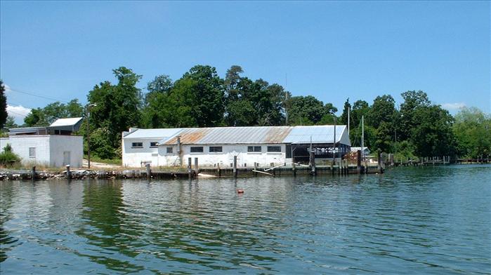
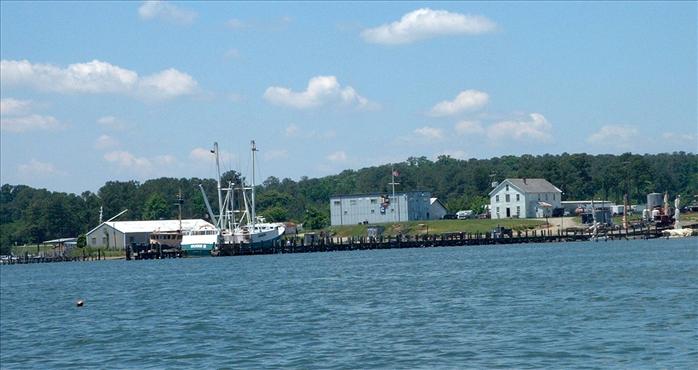
One of the many working boats departing Carter Creek.
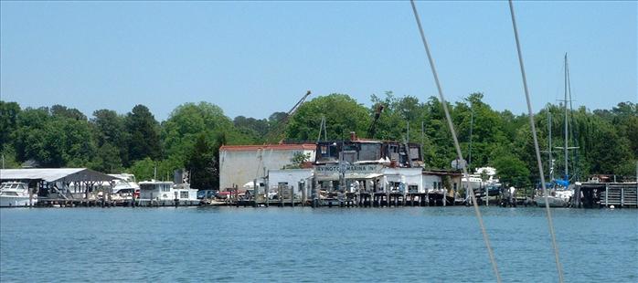
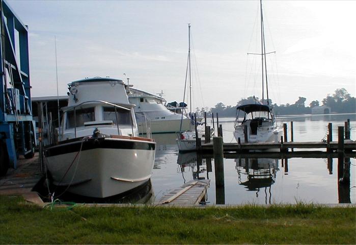
The Irvington Marina
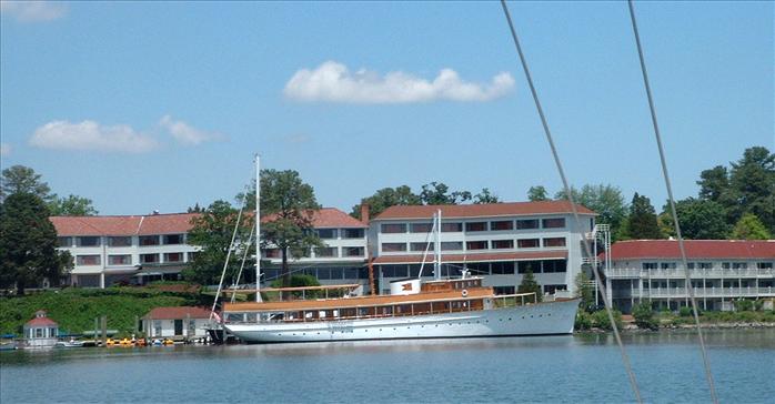
The 127 foot Miss Ann built in 1926
I believe this is the Rappahannock Yacht club.
The Commodores
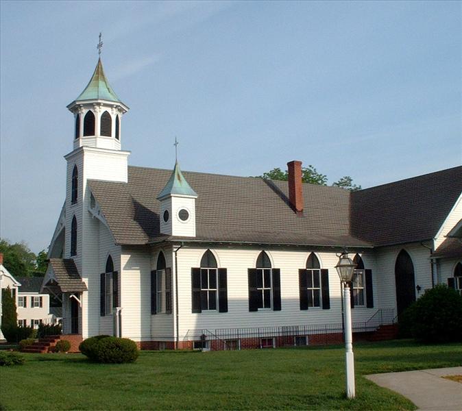
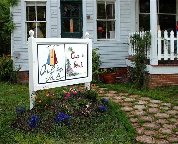
Urbanna
We were about half through our trip and we wanted to restock on gas and eat in a restaurant. Urbanna doesn't have a city doc (they should) and rather than stay at the marina we decided to get a room. The new batteries were doing fine and I wasn't concerned about charging them. We refilled the cooler with ice and got some more milk, beer and snacks at the grocery. I topped off the water tank and was surprised at how much water it took - probably four or five gallons. I didn't think we had used that much. When we got to Urbanna we needed a room. We inquired in town and one of the shop owners (Alanna) spent at least a half an hour tracking down the owners of the Urbanna Inn to get us a room. Then she met us at the inn and showed us around. We were amazed and she said that's just the way it is in a small town.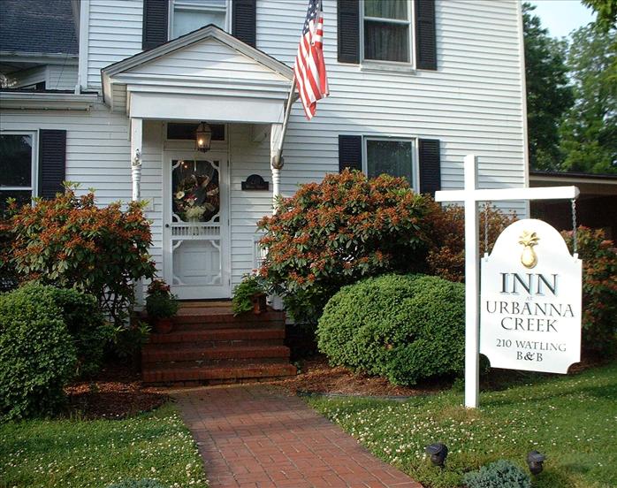
Lee, one of the owners. He also manages the Tides Inn restaurant. At the inn we met a very interesting gentleman from Maine who was just coming to Urbanna to be the English Department "Chair" for I believe he said Christopher Newport College which is nearby (actually I thought he said Christ Church college but I didn't get any Google hits on that).
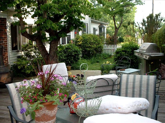
This patio inspired me to put some planters on my patio.
Day 4 - Exploring Corrotoman, Carter's Creek and finally to Urbanna - 29.1 miles
Day 5 - Wednesday - Departing Urbanna for Horn Harbor
We are concerned about the weather forecast for Thursday. It didn't look good - high winds and rain. But the forecast for today was pretty good with winds forecast at 5 to 10 knots. Not. Winds were closer to a steady 13 knots and that resulted in some fairly large seas - more than I like. But, sailing was definitely more comfortable than motoring and I got some good practice in.
Can you spot my little boat?
Day 6 & 7 - Thursday & Friday. Laying over at Horn Harbor for two days!
The forecast was terrible - 15 to 20 knot winds and rain. We decided to just sit it out. Needless to say it got pretty boring staying down below for two days in a nineteen foot sailboat. The rains weren't particularly heavy but only let up a few times. The worst thing about this is the humidity which tends to make everything a little damp. But, we were pretty comfortable and the stereo did a pretty good job of keeping us entertained. And we joked about when the next meal time was even right after we finished eating.
On the way into Horn Harbor the swells had gotten pretty good size. We saw a few "rogue" swells that were about six feet. Not that many breaking waves but a few. The white caps were fairly sparse but definitely present. When we approached Horn Harbor I wanted an anchorage that was more protected than the one we spent the first night at. We were there we were hailed on the radio and were told it looked like we were looking for an anchorage and would we like some advice. He recommended a spot near the end of the creek but before the marina (same spot recommended by the cruising guide). So that's what we did. It was very well protected and we didn't get that much wind. Although, the first night there was some strong wind in the middle of the night and we swung on the anchor pretty good. I kept checking on it but it was doing fine. I had played out plenty of rode and the anchor didn't have any problem holding us.
Notice the water on the windows.
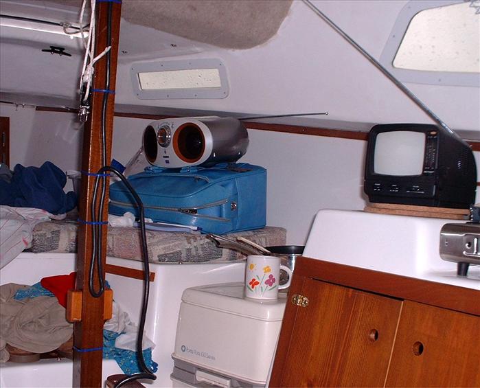
Our neat little boat was starting to get pretty cluttered - it's amazing what living in a space does to it.
Day 5 - From Urbanna back to Horn Harbor - 45.3 miles. Mostly sailing which makes for a more comfortable ride in heavier seas.
Day 8 - Saturday - Horn Harbor to Willoughby Harbor marina
The sun is back at last! Dad made oatmeal for breakfast while I got us underway. Hmmm... he was a pretty good cook - maybe this should be SOP?
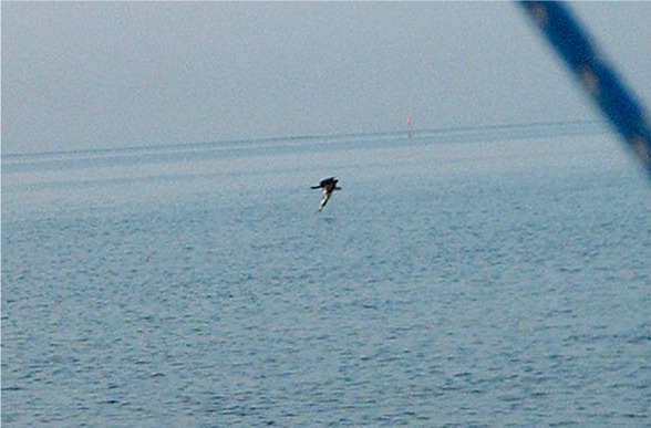
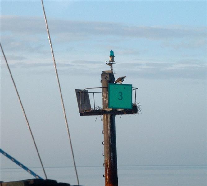
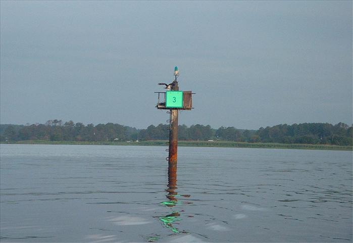
We took the osprey picture on the exit from the Horn Harbor. I was going slow to try and get their call on video tape.
The osprey above has a fish in his talons. The picture doesn't do it justice - you could see the fish very clearly with the naked eye.
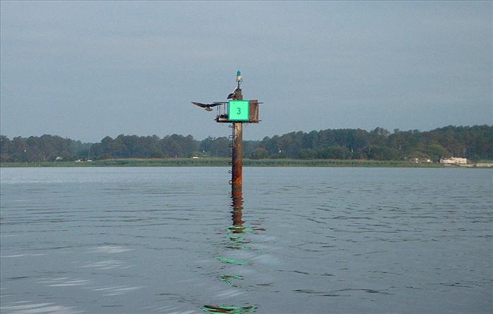
This osprey doesn't look like it's had any trouble finding food, a little roly-poly.
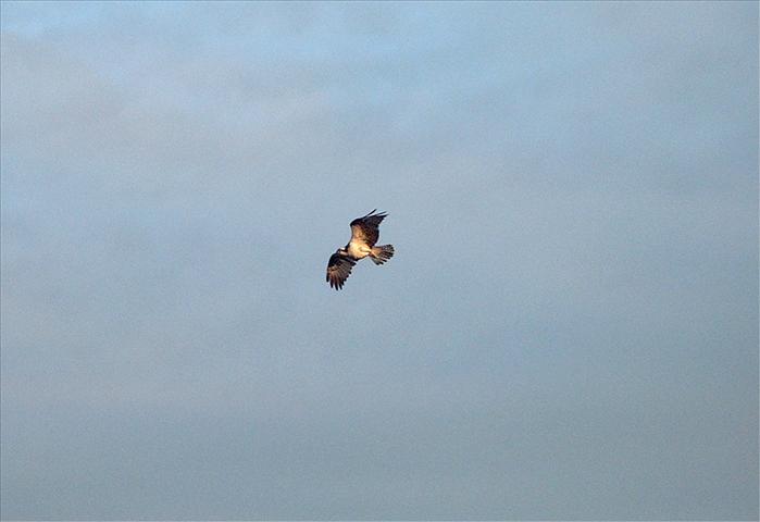
One of my better osprey picks.
The approach into the wind.
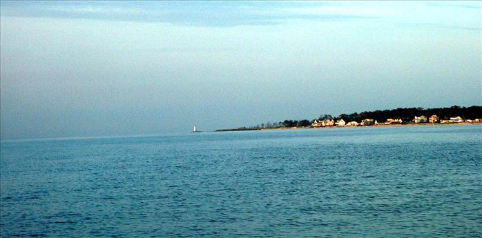
New Point Comfort light house in the distance.
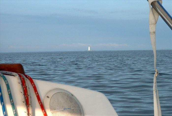
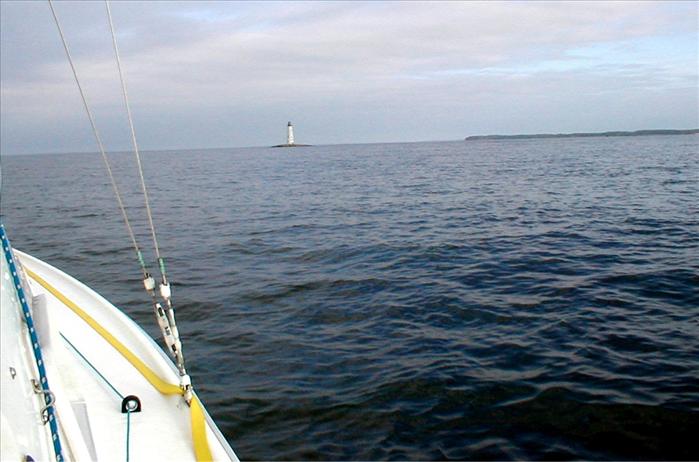
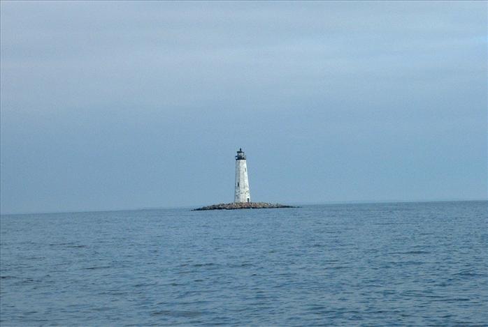
My best picture of New Point Comfort Light House.
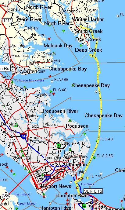
Day 8 - Horn Harbor back to Willoughby Harbor Marina - 34.1 miles
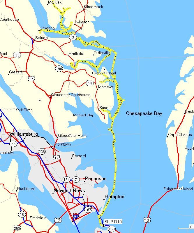
217.5 total miles for the trip and we only used about six gallons of gas! The rest was all sail power.
The trip was seven nights and eight days which was one day longer than originally planned but contained one less stop over point than planned. I planned my big trip of the year for the end of May to avoid the hot summer weather. It turned out that the spring was much cooler and wetter than normal but fortunately not nearly as hot as the August Tangier Island trip!
I would have liked to fully explored the Rappahannock but up near Tappahannock there aren't many creeks or protected anchorages.
The cruising guide didn't make it sound like it would be worth the effort - maybe one day.
The Piankatank and Corrotoman rivers were beautiful. It's a shame they are so far away but I'm sure I will go again. The trip was a success and I got in lots of sailing. I'm pretty sure Dad had a good time - I know I did. I can't believe how long it's taken me to write this up - too many pictures (and I culled a ton of them out!)
This page last updated on 1/29/2012 6:49:53 AM. If you have comments or suggestions, email me at webmaster@jscheetz.com