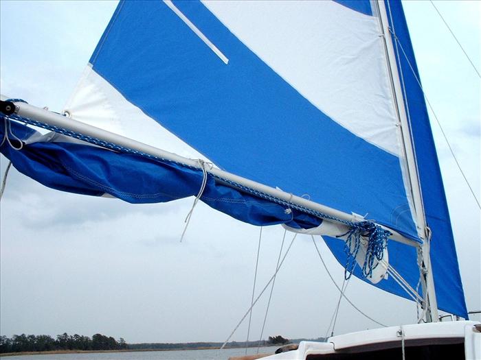
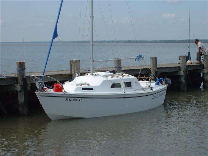
The double reef in the main sail.
Here is the first of many Osprey nests that I spotted.
It was funny but usually one of a nesting pair would take off when I approached.
Can't believe they were trying to lead me away but they did seem to follow that pattern. The sound the Ospreys made was very pretty and haunting - a pretty high pitched sound.
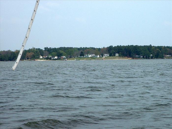
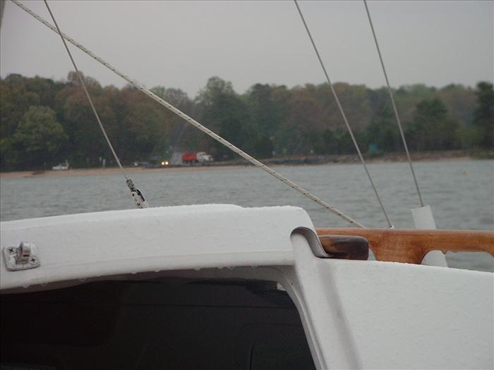
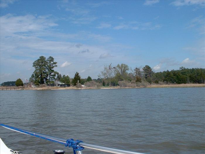
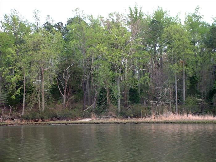
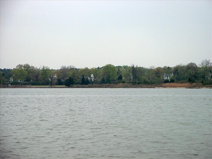
In the distance are more of the beautiful homes on the banks of the York River.
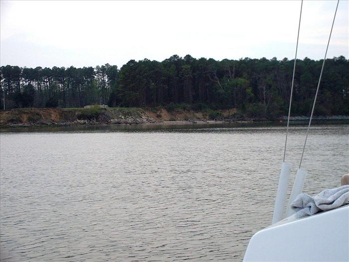
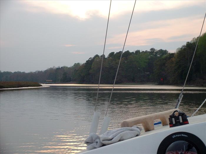
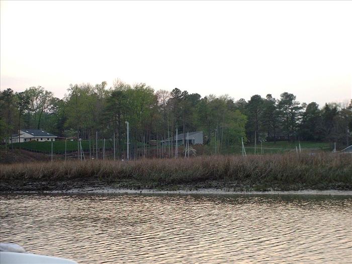
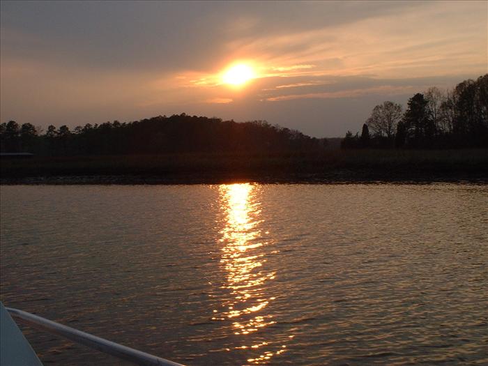
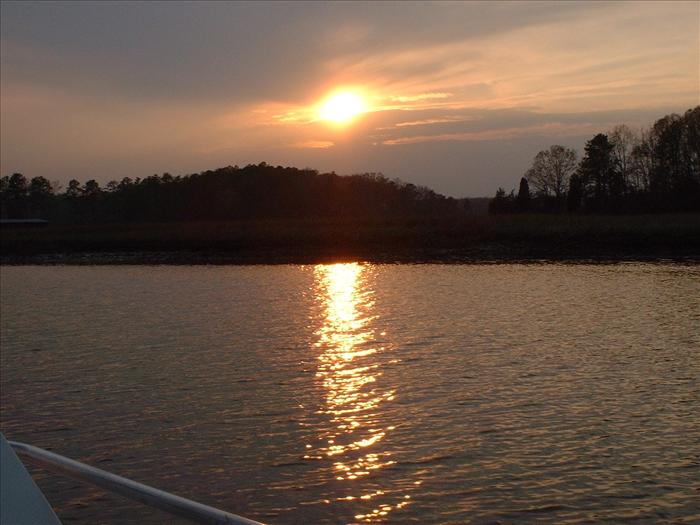
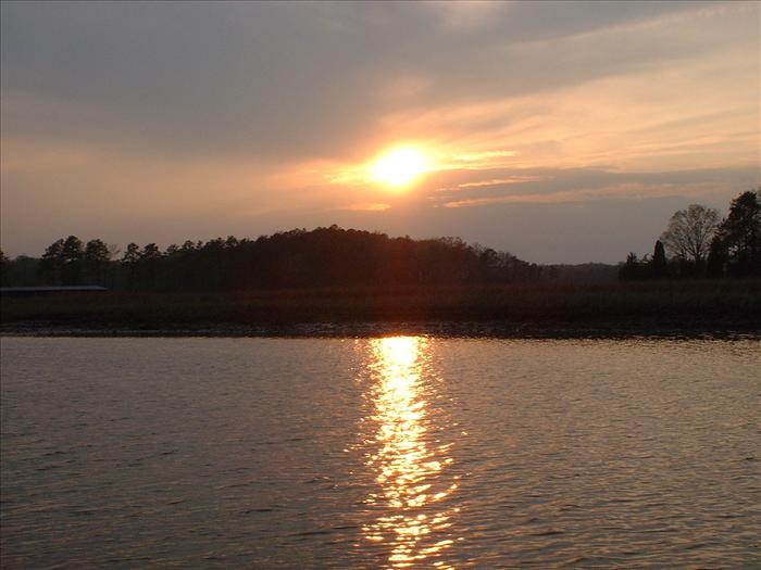
It is getting late and I am just entering the channel area for Queens Creek.
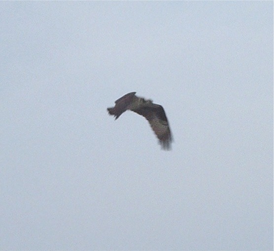
Osprey in flight, the picture certainly doesn't do justice.
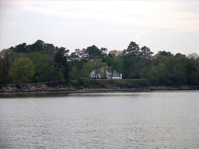
Here is another picturesque home at the entrance to Queens Creek.
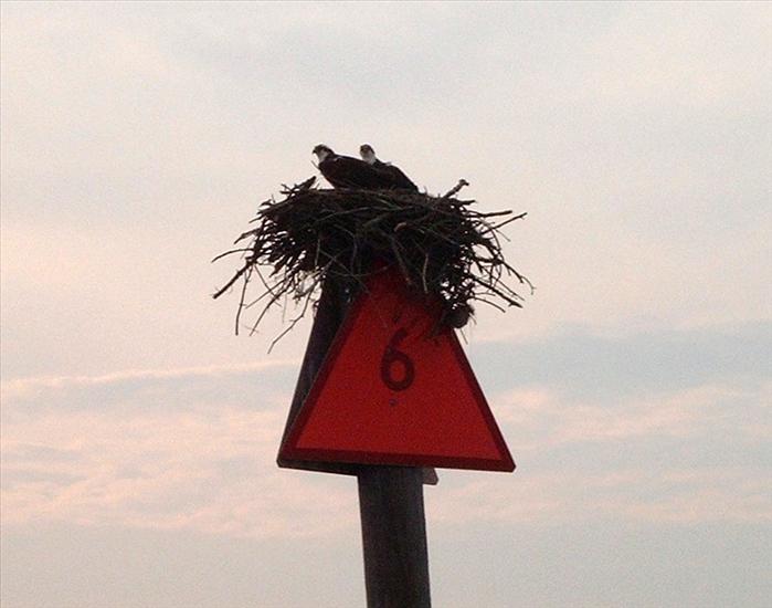
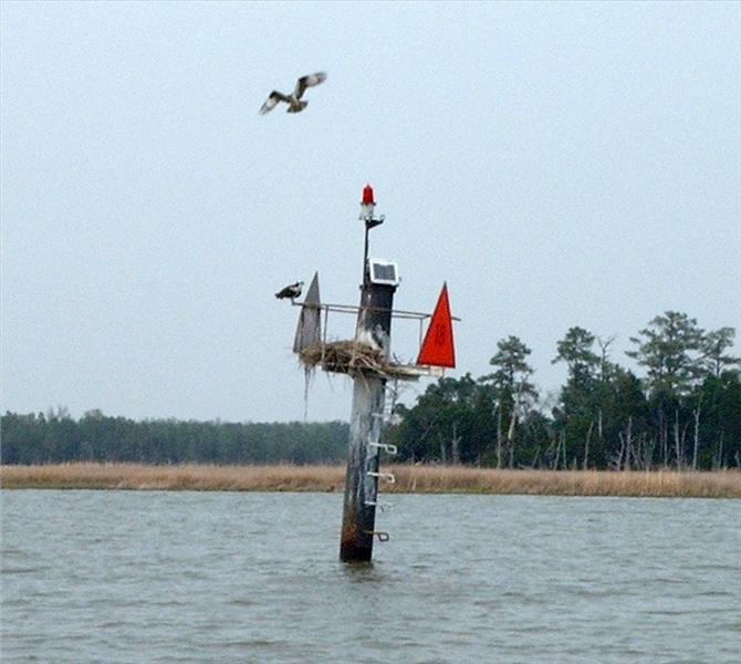
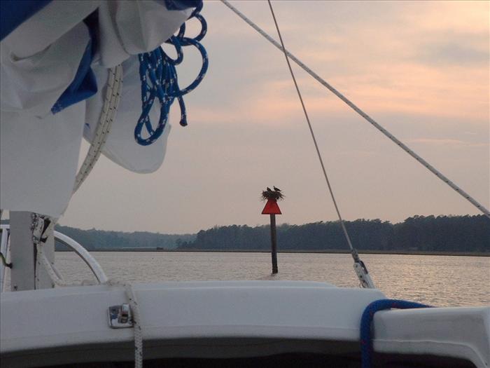
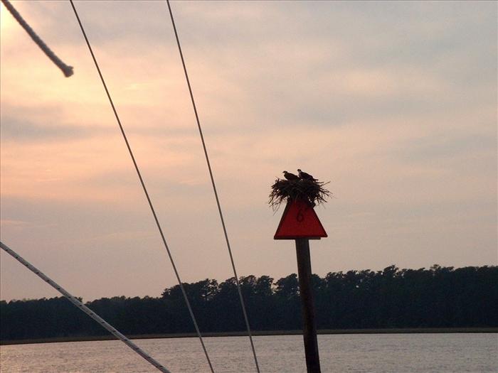
Here is a nesting pair of Osprey.
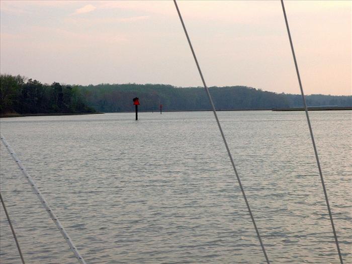
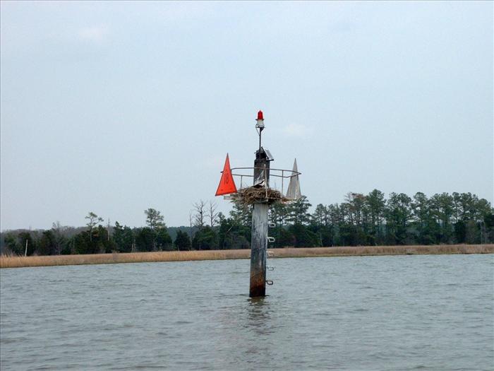
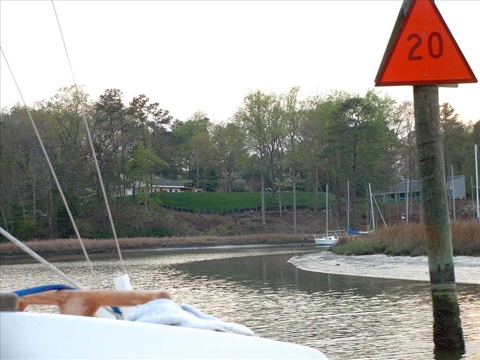
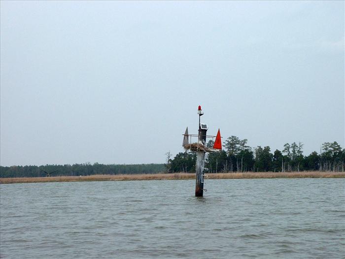
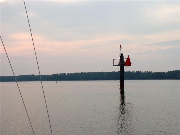
Markers identifying the Queens Creek channel as they fade into the distance.
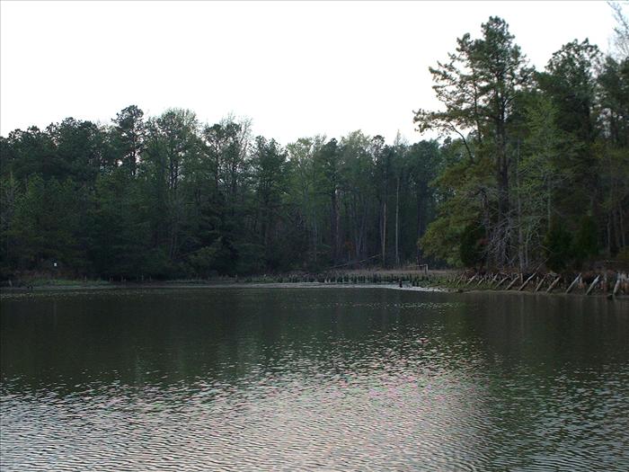
The channel is beautiful - I will definitely return.
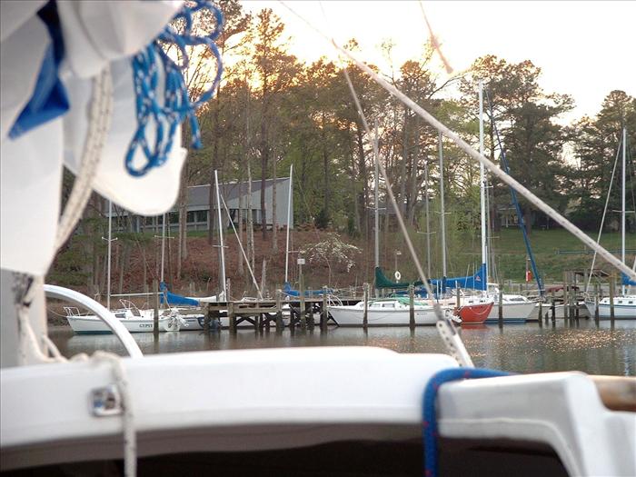
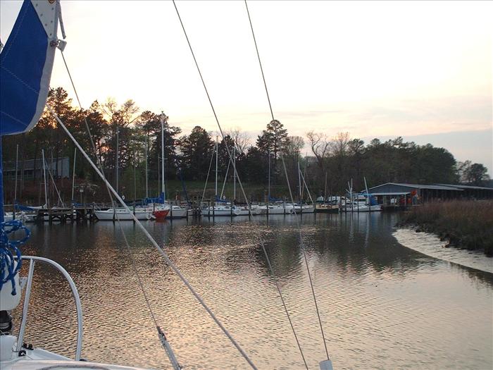
I was surprised to come upon a marina on the creek that wasn't on the chart! A pretty little Marina though.
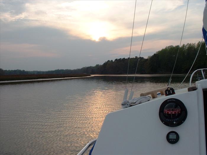
I'm looking for a good place to anchor and its getting late.

Here is the track that I took from the York River State Park to camp on Queens Creek on Thursday as recorded by GPS. Total length of 18.1 miles with an average of 3.1 mph. This was done almost all by sail. Only the part on Queens Creek was done by motoring. The winds were 10 to 15 knots the whole way.
It is now the next morning, Friday. Here is the little inlet where I decided to anchor for the night. Before I took this picture I fell off the boat getting the anchors up. I guess the deck was very slippery due to the morning dew. Including the foot of muck, I was in the water only up to my knees so this wasn't too disastrous. It was a good lesson though. After that I wore my safety harness for the rest of the trip.
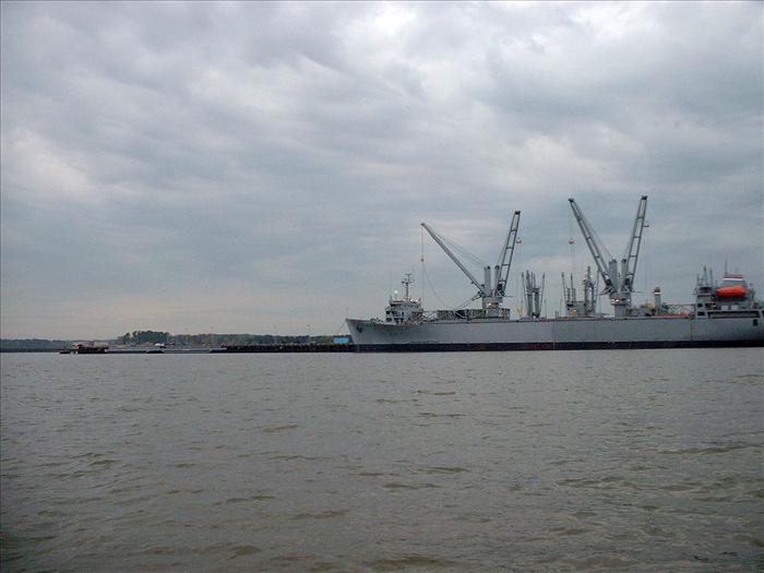
I decided to motor down to the Coleman Memorial bridge (about 7 miles)and then I would spend the rest of the day sailing back (18 miles) to the boat ramp. The marine forecast was getting drearier and drearier. They were predicting rain all day with 15 knots winds and 20 knot winds for the following day. So, I decided to shorten my trip by a day. Here is the Navy ammo depot.
A picture of the York Town to Williamsburg Colonial Parkway, which prettymuch runs from here down to the bridge. Many of the cars had their headlights on.
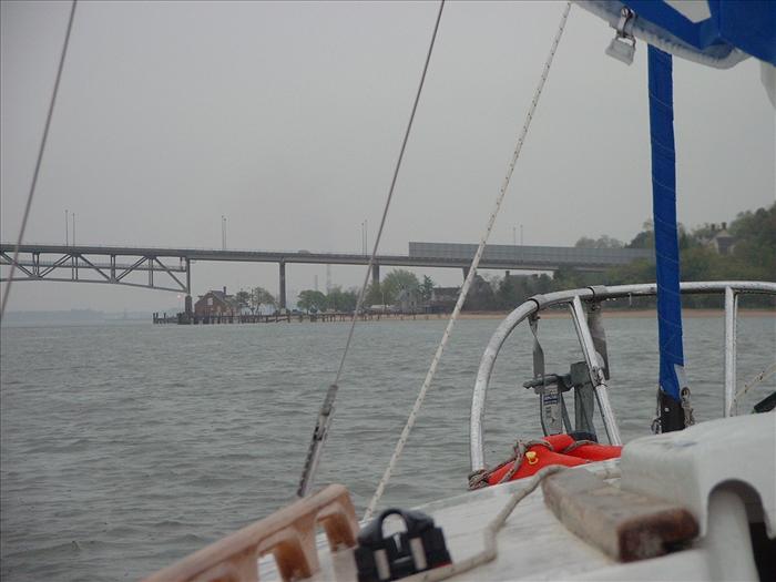
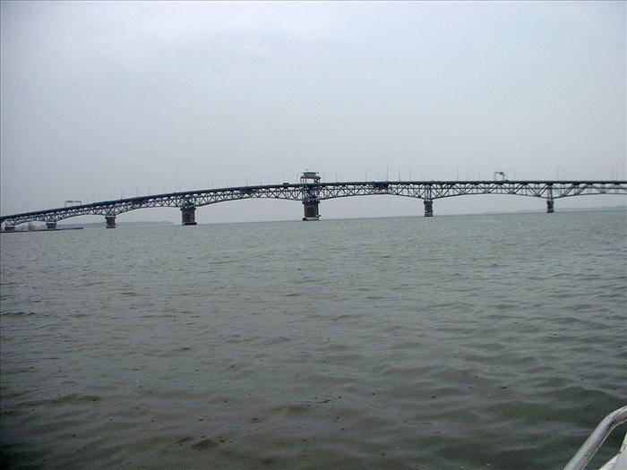
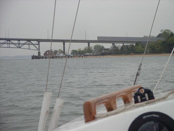
Here is the Coleman Memorial bridge. Notice the old brick post office on the point. At this point it was raining pretty hard with a pretty stiff breeze.
Rain - vehicles with lights on.
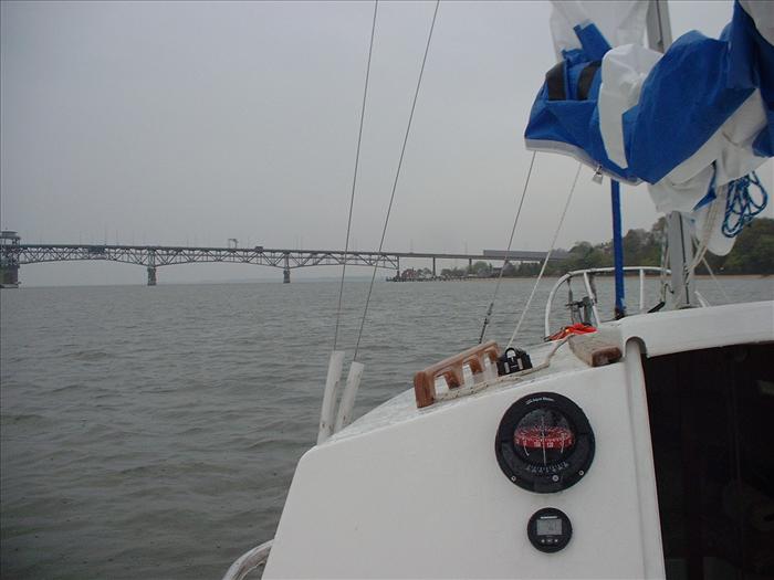
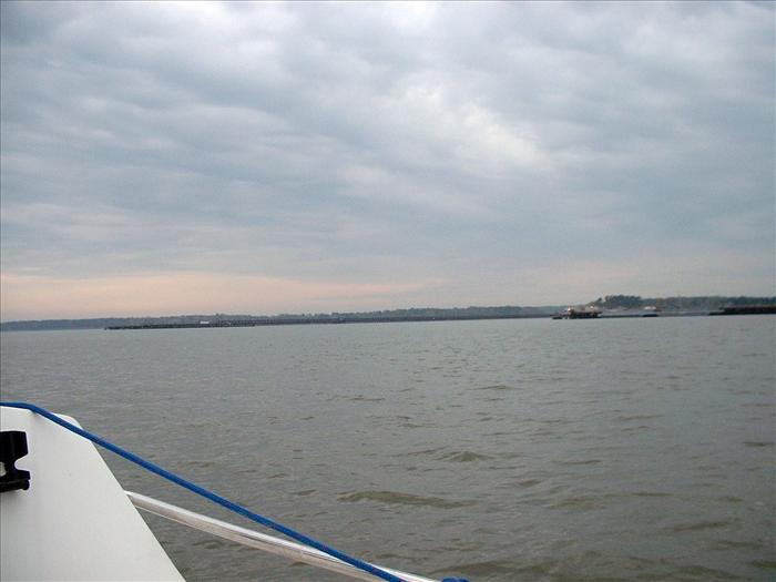
Approaching the Coleman bridge.
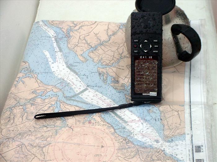
My chart was a taped up ink jet printed chart from a Maptech Chart CD.
Luckily I had put it into a zip lock chart bag. Boy was that a good idea! You can't see it but there are water puddles on the chart.
I then motored all the way back to the bank opposite the boat ramp and the weather is gorgeous. I rechecked the marine forecast and they are still saying the weather will be horrible. Right now it is sunny, a mild breeze and about 78 degrees. I think I am crazy for quitting the sail. But it is too late to change my plans now. It is about 4 PM and I decided to stick with my change of plans and cancel the sail. A decision I now regret, the weather stayed beautiful and the weather the next day was also beautiful. Right now I think the marine forecasts are way too pessimistic. I am reluctant to not trust the marine forecast but I have called off several sails because of pessimistic marine forecasts. I think from now on I will rely much more on the local television news forecasts. They were much closer to the truth. The trip was very good but I would have enjoyed it more if I wasn't so worried about 20 knot winds and the possible thunder storms they were predicting.
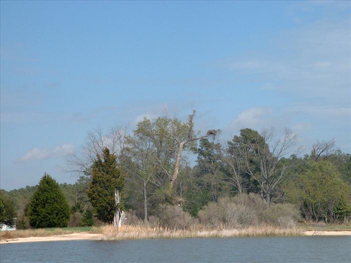
Before calling it a day, I tried fishing for about a hour. Unfortunately, I didn't get a nibble. Also, this picture shows what I thought a bald eagle but it turned out to be another. The main reason I thought this might be an eagle was that the nest was located differently from all of the other Osprey nests that I had seen. The nest was located at the end of a branch, where all the Osprey nests that I had seen were either on top of a pole or in the crotch of a tree.
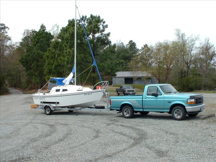
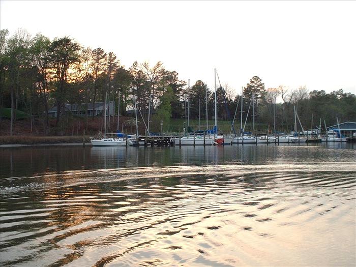
Back at the dock.
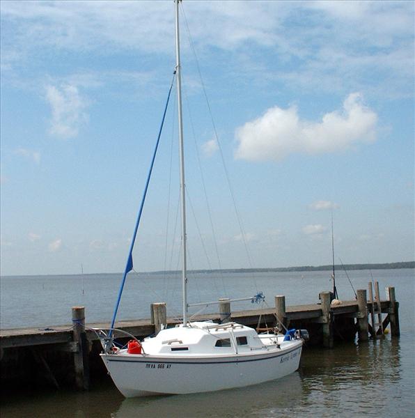
Back at the York River State Park dock.

Here is the track that I took on Friday, from Queens Creek, to the Coleman Memorial bridge and back to York River State Park. Total distance 28.7 miles for average speed 3.9 mph - almost all of this done motoring because of the weather. Heading south and most of the way back north was all done in the rain. At about Bigler Mill point the skies started to clear and the wind died to almost nothing.
This page last updated on 1/29/2012 6:49:22 AM. If you have comments or suggestions, email me at webmaster@jscheetz.com