The Duck Cruise.
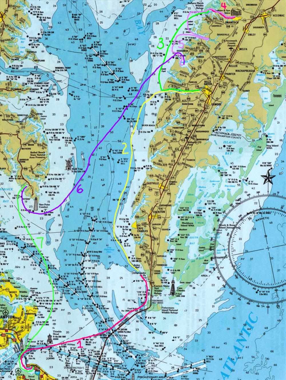
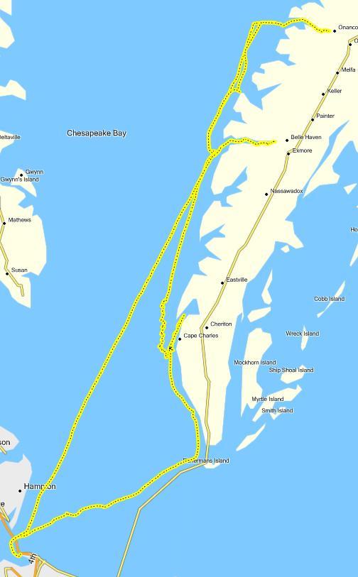
Above are the numbered legs of my planned trip. The goal was to explore the navigable creeks of the lower eastern shore. As it turned out we couldn't get into Nandua Creek due to shoaling and we had to miss the Pungoteague due to inclement weather.
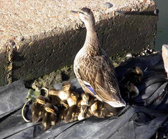
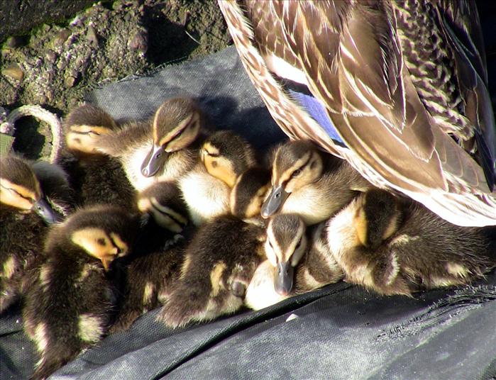
Right off the bat the trip started off being interesting. At the marina there was a mother duck with her ducklings.
This is where I was standing when I took the pictures of the ducks. The ducks were just to my left.
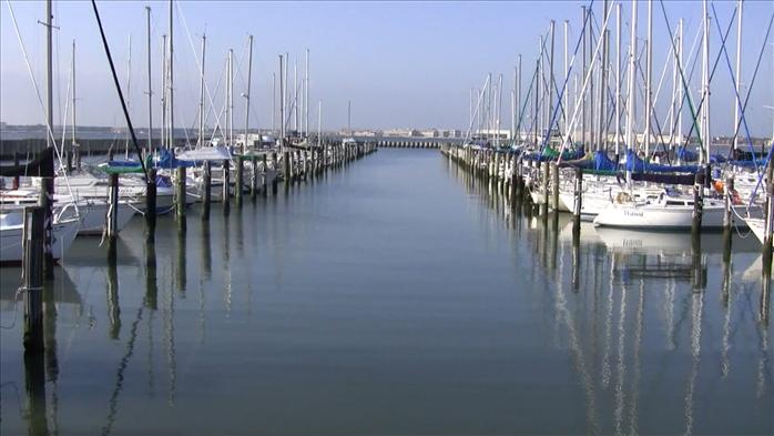
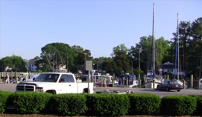
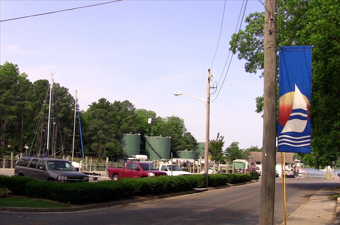
My boat is on "D" dock on the left.
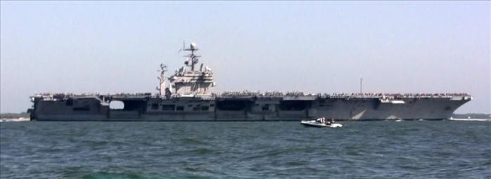
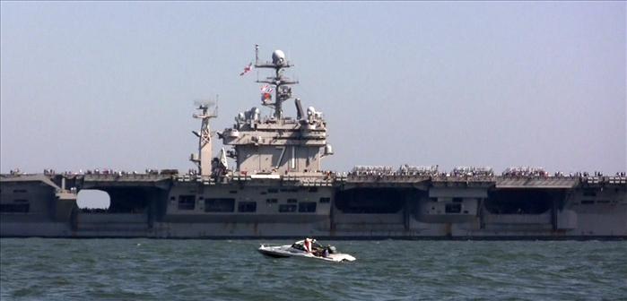
The TheodoreRoosevelt escorted us out. That's a BIG ship.
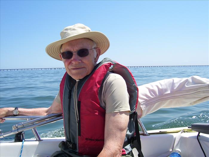
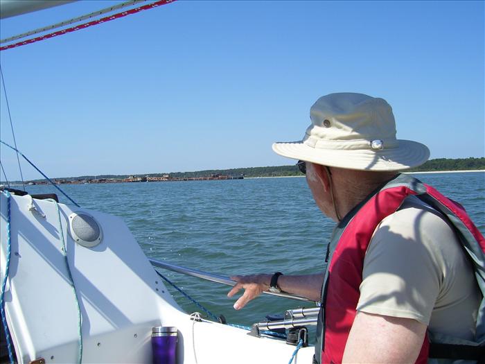
Dad with Chesapeake Bay Bridge Tunnel in background. The bridge tunnel is 21 miles long.

Where the bridge tunnel meets Fisherman's Island.
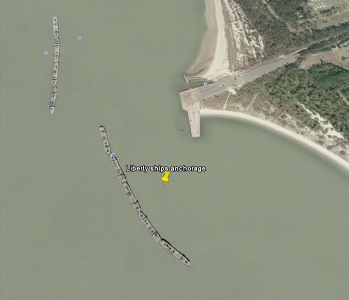
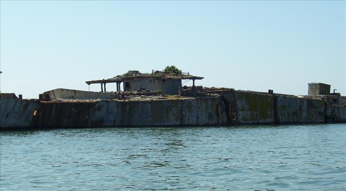
The plan was to anchor out at the cement ships off of Kiptopeake State Park. The cruising guide said this was an excellent protected anchorage. When we arrived there were two sailboats already anchored there and a third was approaching. Plus there were boats, jet skis and kayakers in the area - it was quite busy. Moreover, it seemed pretty exposed to me. We decided to head up to Cherrystone Creek where we had been before. That creek is a quiet and pretty place to overnight.
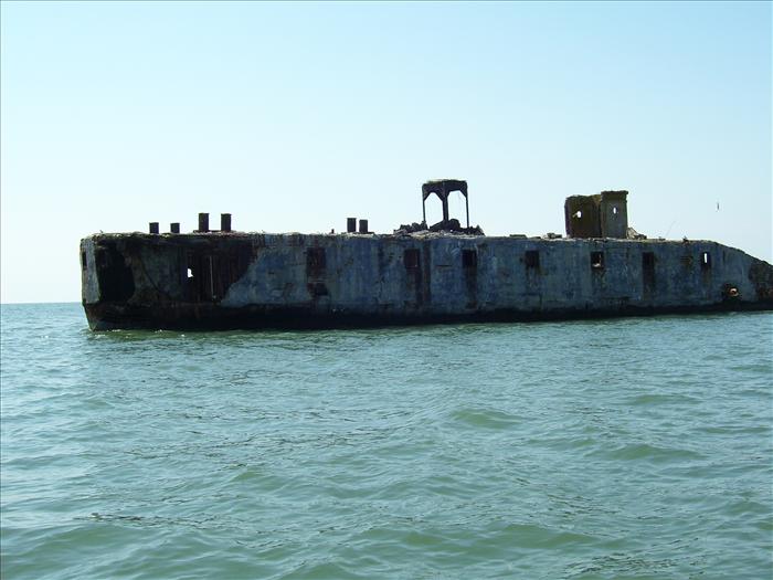
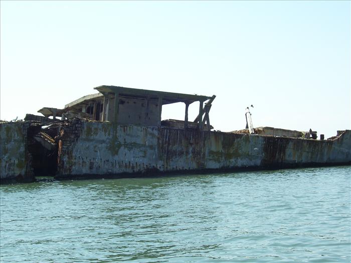
Approaching the cement ships. There was a line of pilings (an old pier?) on the south side of the ships and it wasn't obvious how we should make our approach.
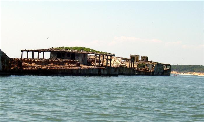
The "cement" liberty ships.
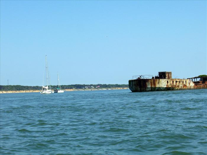
Two sailboats already at anchor. A third was approaching.
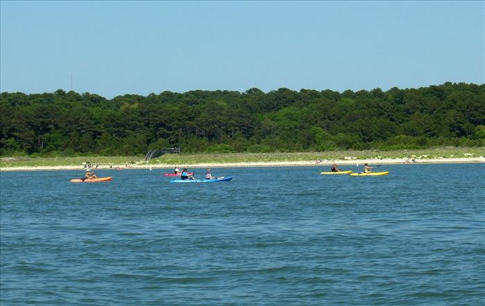
Kayakers
Night two on Occohannock Creek.
Of the creeks on the Eastern Shore that I've visited so far the Occohannock is the nicest. It is well protected, has good drafts and has good anchorages along its entire length. We ended up spending three nights here. The original plan only called for one night. But, we layed over the first night due to high winds. On the way back from Onancock it was my intent to stay on Nandua creek. But, the entrance was shoaled over. I probably could have raised the daggerboard and made it in but at the time I just didn't have the patience and decided to head back to the Occohannock which I had become very familiar with.
|
|
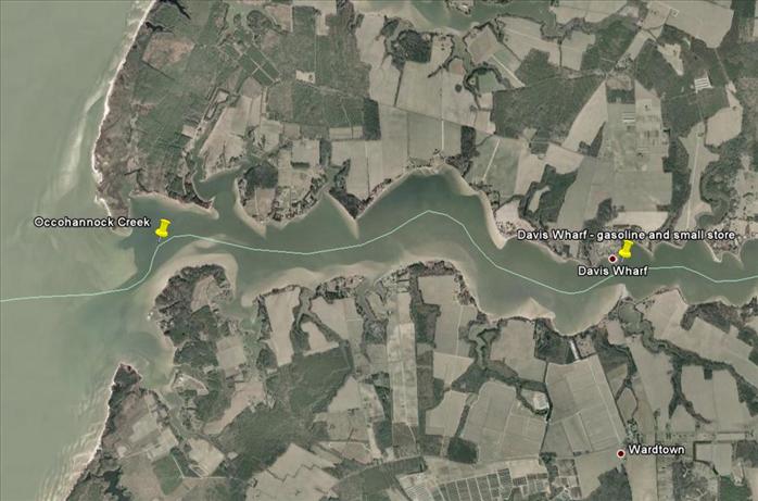
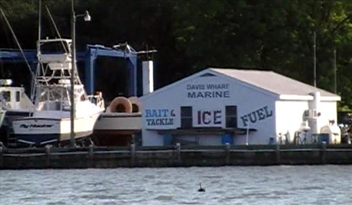
| We got gas at Davis Wharf. The man running the wharf was from the British Virgin Islands and was very nice. He didn't have ice because he was having problems with his supplier. | |
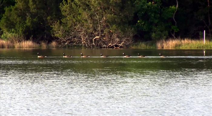
The next morning the geese were out in formation.
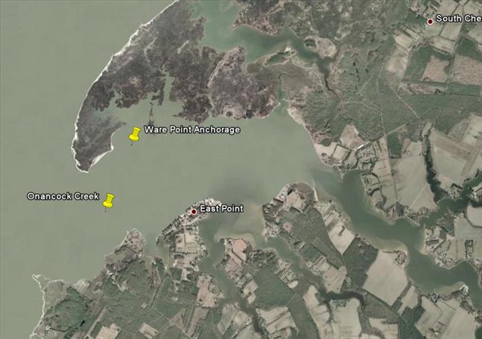
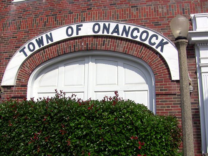
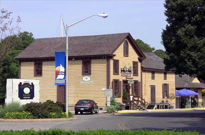
We were supposed to spend night three at Ware Point Anchorage. But, we lost a day due to laying over for small craft advisories that were out for the day. So we headed for the Onancock city docks. Also, the cruising guide said this was a well protected anchorage but it seemed pretty exposed to us.
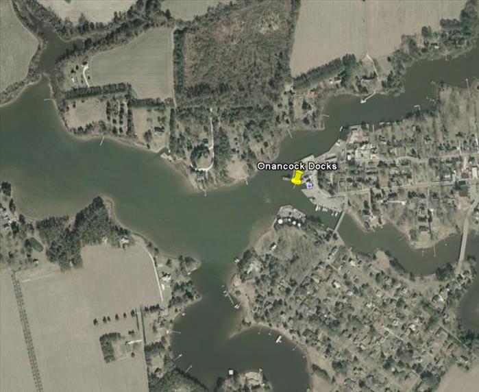
In the photo above, the actual dock we moored at was the group of slips to the right of the push pin above. The fuel pier was on the other side of the creek - you can make out the tanks in photo. Dad walked across the bridge to top off one of our gas tanks. The fuel operator was also the marina operator and he gave Dad a ride back in his golf cart.
Once we were on the Occohannock creek, I radioed the city docks to see if they had any slips for the night. They had one slip but it was currently being used by the Tangier ferry and if we wanted it we would have to wait until 5:30 pm for the ferry to leave. I said we would take the slip and we anchored out in the creek to wait the 2 hours for the ferry to leave. While at anchor, I used my cell phone to Google the B&B's in the cruising guide to get the phone numbers. The third place I tried had a vacancy and I made us a reservation for the night.
When we arrived at the city docks, there was a yacht club having a party. I'm not sure where they were based but I know that some of the yachters were from Saint Michaels. I didn't appreciate the audience watching me tie up.
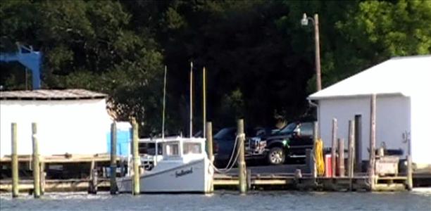
My little boat is on the right. The tanks were where the fuel pier was located.
On our way into town to check into the Spinning Wheel B&B and to get some dinner. To the left is the bridge to the fuel pier.
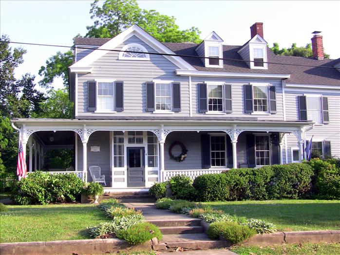
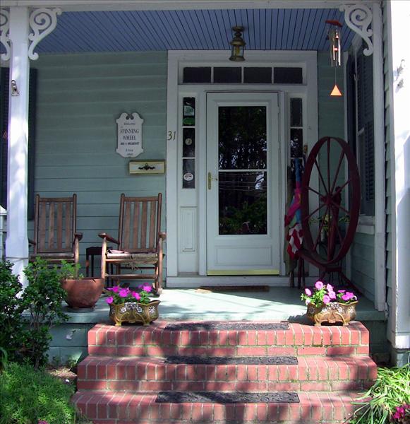
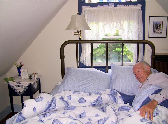
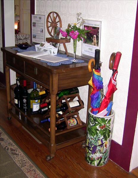
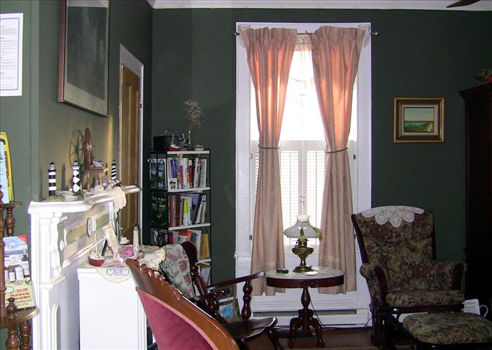
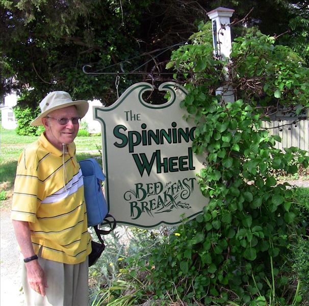
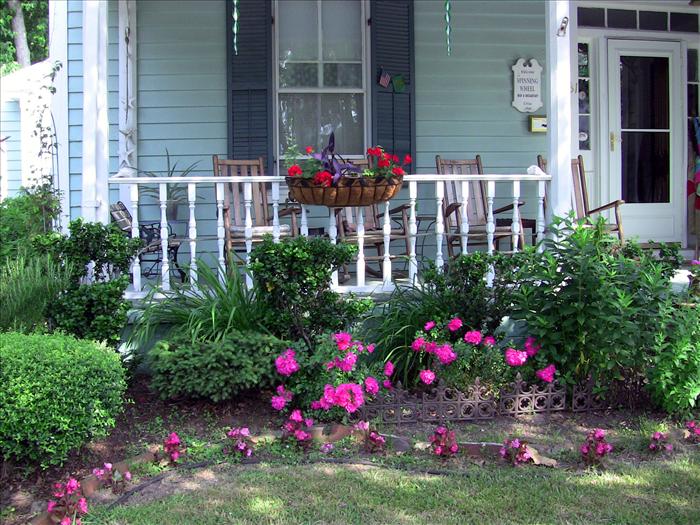
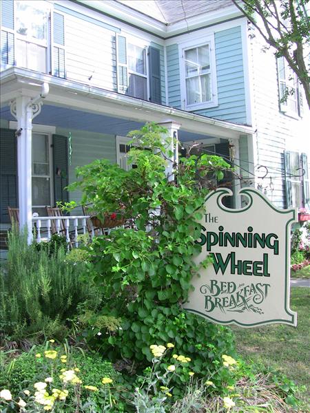
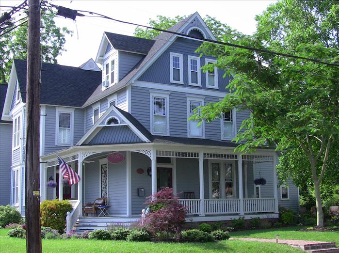
Entrance to the Spinning Wheel B&B.
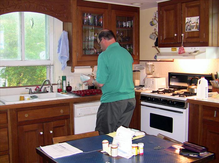
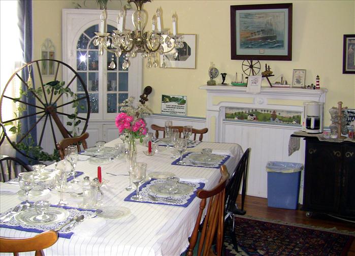
Tom the inn keeper making a good breakfast. We stayed fairly late to have a leisurely breakfast with some of the other cruisers staying at the B and B. Tom's daughter Katie's was raising-imprinting a one day old baby duck for school project. It was cute the way "Alan" followed her around. She was taking it to school that day.
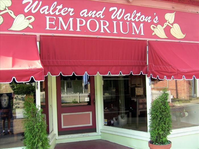
Where we had a crab dinner that really hit the spot.
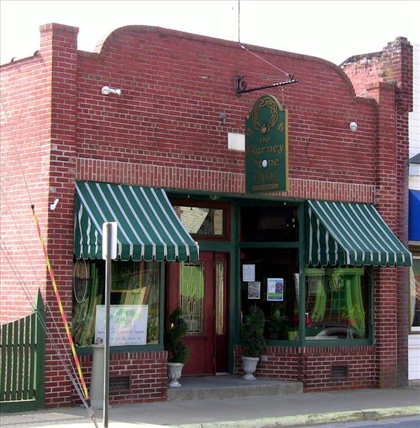
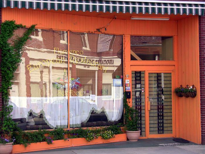
The Blarney Stone Pub. We had an after dinner beer here.
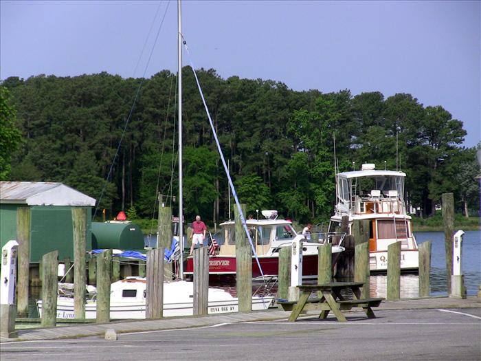
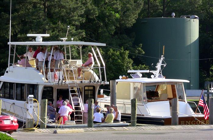
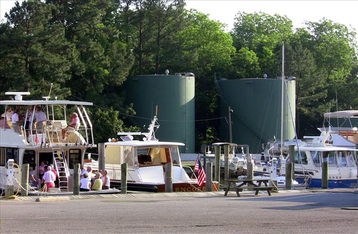
The red boat was being fueled at the fuel dock.
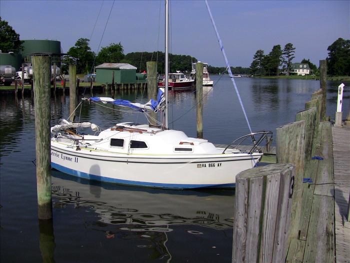
The Kerrie Lynne with the fuel dock in the background. You can also look down the creek from here.
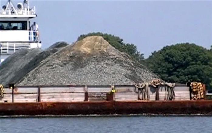
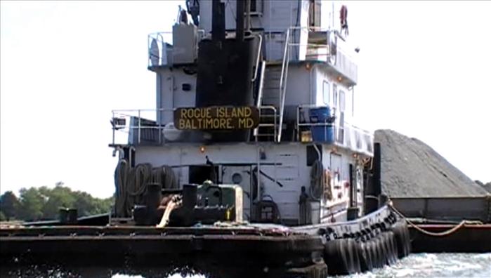
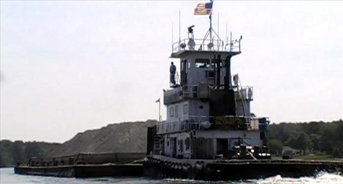
While at the B&B, the inn keeper made several remarks about how the wharf was still a "working" warf. It was pretty clear that the town still identifies itself as a working waterfront town. On the way out of the Onancock Creek we encountered a gravel barge on its way to the city warf. We got out of the channel and sat in a bend in the creek where we could watch him make his turn. For some reason the Mississippi river and its river boats came to mind as we watched the tug make the turn. We had a great view.
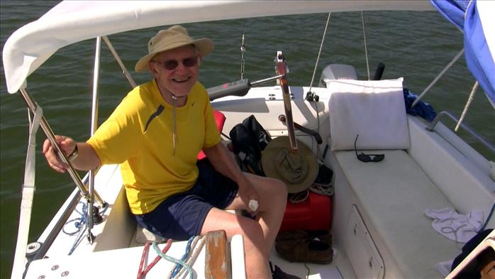
Me.
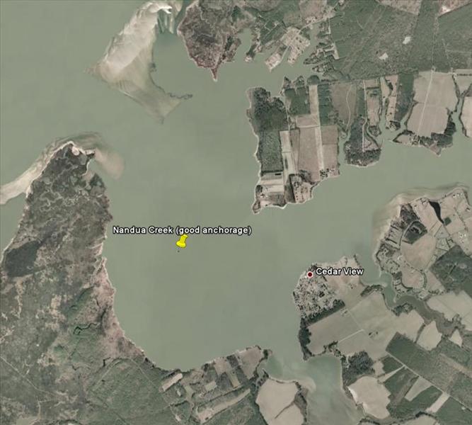
The plan called for us to spend night five on Nandua Creek. We weren't able to get into the creek due to shoaling. On our approach I had slowed to about 3 mph just in case of shoaling. But, I forgot to loosen by the dagger board hold down bolts for the approach. All four, busted loose. Rats. Another repair to make. Next time I'll raise the dagger boad and try again.
FYI, before the trip I had printed off the most recent version of the NOAA Coast Pilot for this region. The pilot mentioned to keep an eye out for color changes that indicated possible shoaling but didn't mention that the controlling depth had changed due to shoaling. I had also purchased a recent chart 10 days before the trip and it still showed the controlling depth at five feet. In fact, I found that a lot of chart information was out of date on this trip. I guess conditions change really fast on the Eastern Shore.
They were predicting afternoon storms, which is usual anymore, and since we weren't able to get into Nandua creek like we had planned we wanted to get back to the Occohannock creek as soon as possible. On the approach to the creek we could see an approaching storm. We anchored probably only a mile up the creek to ride out the storm. It was a doozey with hail and what the radio said were 60 mph winds. When the first gust hit it heeled the boat over pretty good - I'd say at least 30 degrees which really surprised me.
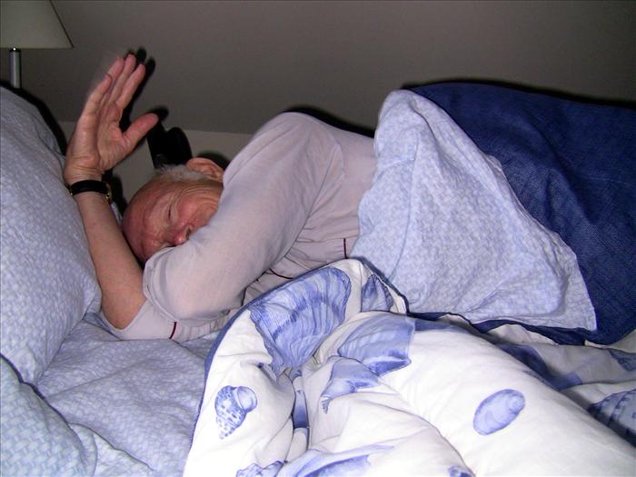
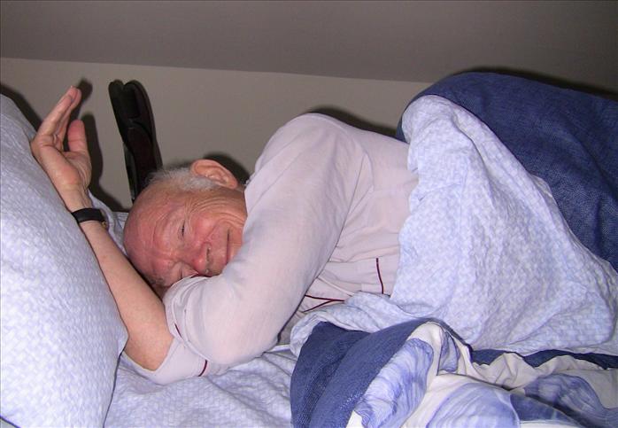
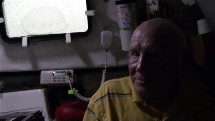
Dad and I riding out the storm, It was only about 4:30 pm but it looked dark out!
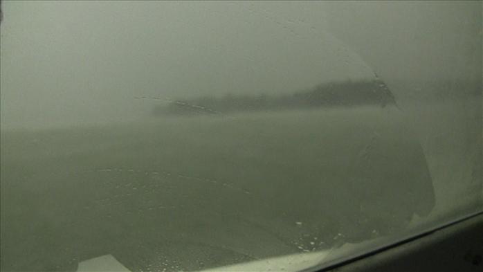
Looking out one of the port holes to see the hail.
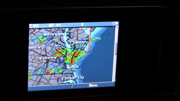
I used my cell phone to get the radar while we were in the storm and the red in the middle was us.
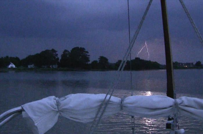
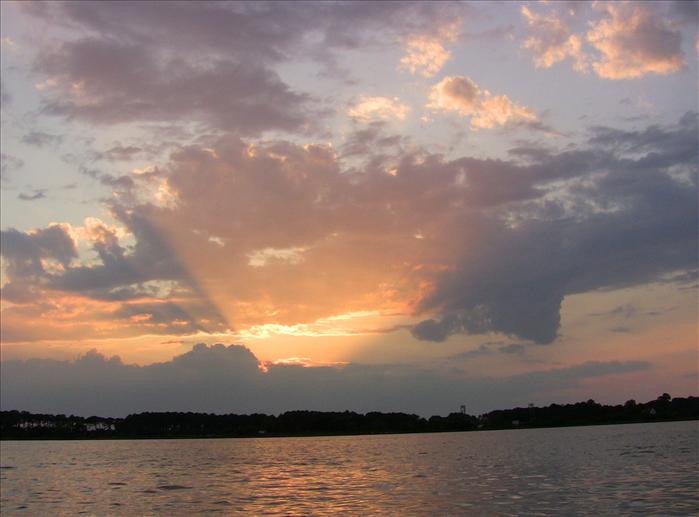
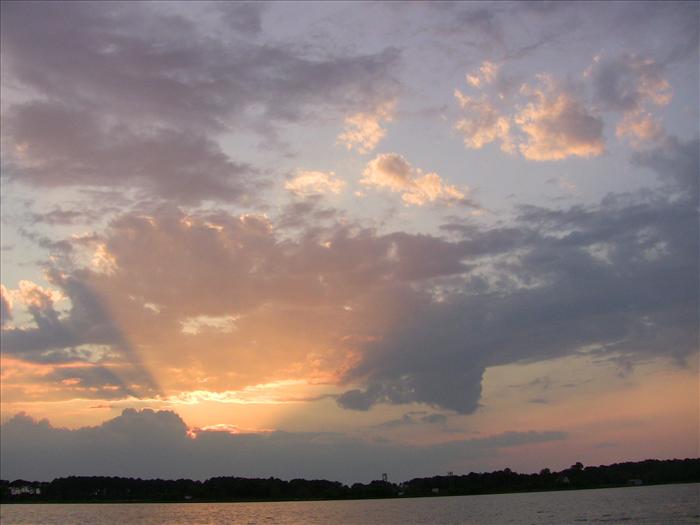
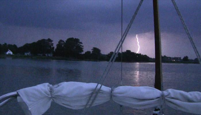
Some beautiful lightning after the storm had passed.
After the storm had passed, "Kenny" an older gentlemen living across the creek motored across the creek to check on us and offered any assistance he could provide. He said he had never seen anything like that storm on the creek before and thought that there might have been a waterspout. The radio had said to be on the lookout for water spouts. Buttoned up like we were we didn't see any. We were fine but it was really nice of him to check with us.
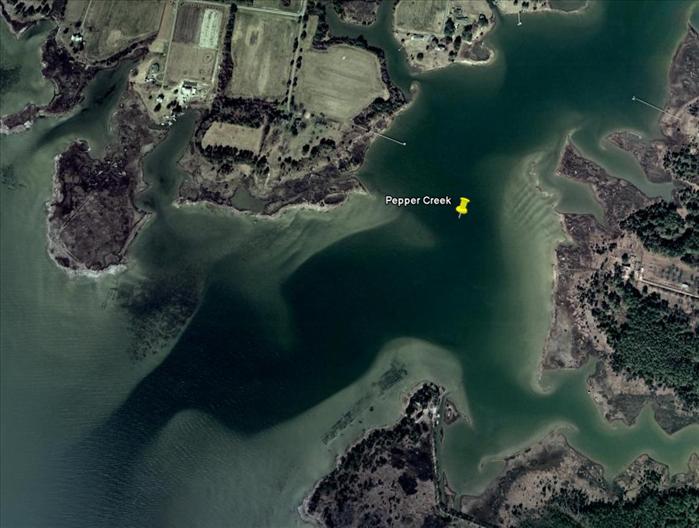
For night six the plan called for us to staty at Pepper Creek on Mobjack Bay. We ended up not staying here because we hurried home due to a bad weather forecast. Friday and Saturday was forecasting high winds and storms. Thursday looked pretty good so we decided to high tail it back home.
Day 1 - 38.1 miles - From Willoughby to Cherrystone Creek
Day 2 - 39.4 miles - Cherrystone Creek to Occohannock Creek
Day 3 - No travel due to small craft advisories
Day 4 - 29.3 miles - From Occohannock Creek to Onancock city docks
Day 5 - 26.1 miles - From Onancock back to Occohannock Creek
Day 6 - 48.0 miles - From Occohannock Creek to Willoughby Bay
There was a lot more motoring on this trip than I wanted. I deliberately planned legs less than 25 miles so I would have time to sail. It didn't work out that way - with the storms and tides and shoaled over creeks - it ended up being a lot more motoring than I wanted. But, I really wasn't too disappointed, for me these trips are about being out on the water. I liken it to riding a bicycle - riding along is being on the boat, coasting downhill is sailing, pedaling uphill is dealing with high winds and waves. This trip had all of this. It was a good trip but I think for awhile I'll just do day sailing and overnights. It is a lot of work to do a trip like this but it was fun.
After being home just a few days I went back out to do some crabbing. Only got 5 blue crabs but that yielded about a cup of crab meat and it was delicious!
This page last updated on 1/29/2012 6:50:18 AM. If you have comments or suggestions, email me at webmaster@jscheetz.com