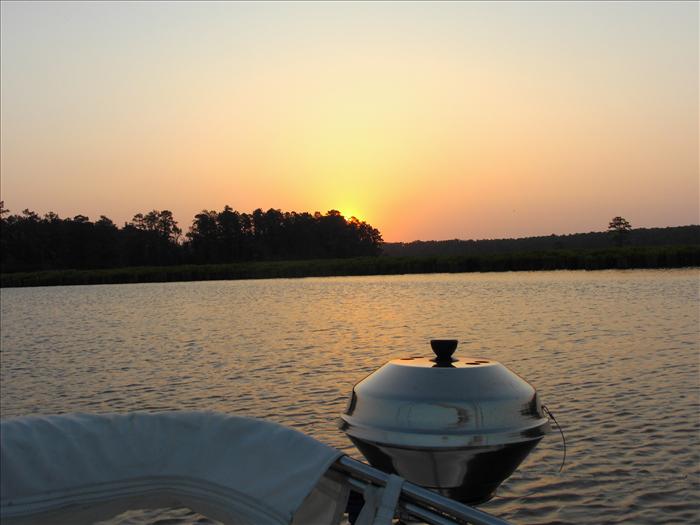
I was most anxious to see Smith Island where John Smith was reportedly captured and taken to see Chief Powhatan.
I wanted to leave on Saturday but the forecast was not good and decided to wait for better weather on Sunday. I used Saturday to make preps for the boat. On Sunday all I had to do was pick up dad and store his stuff and the cooler items on the boat. We were underway on Sunday by 8:30 am.
Sunday, May 13, 2007
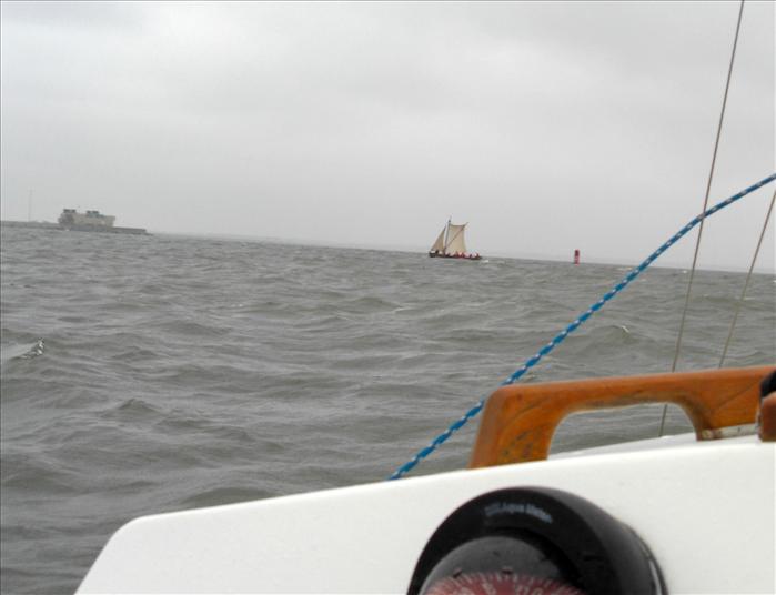
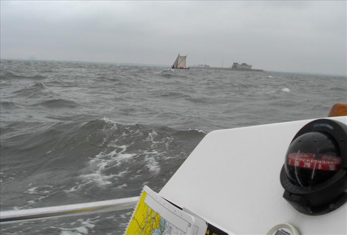
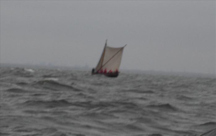
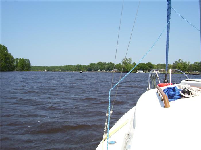
We got underway from Willoughby Harbor around 8:30am. At the Monitor Merrimac tunnel we were surprised to see the Shallop! It was under sail and had just crossed the tunnel with about eight crewmen all in red. It looked like it was a pretty exciting ride!
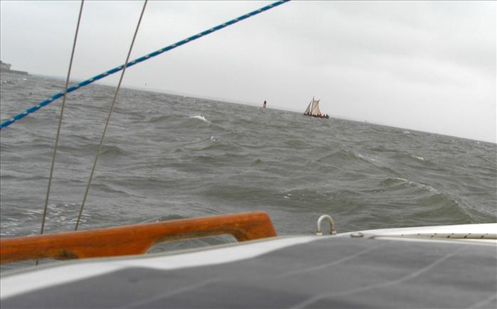
The shallop approaching the Monitor Merrimac tunnel.
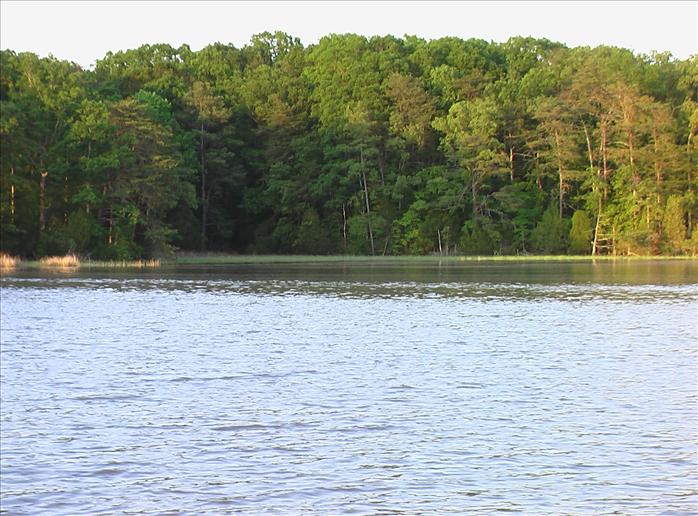
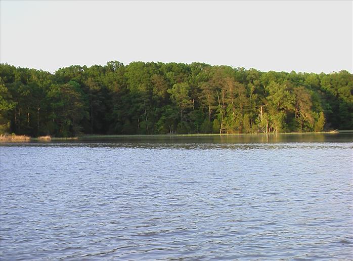
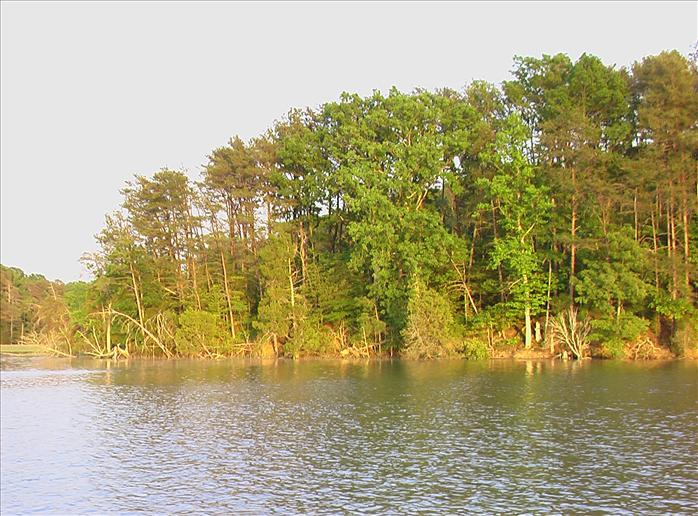
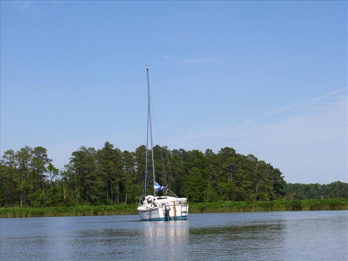
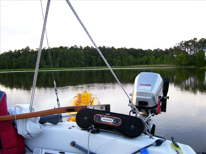
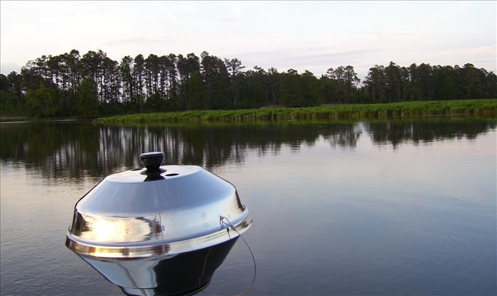
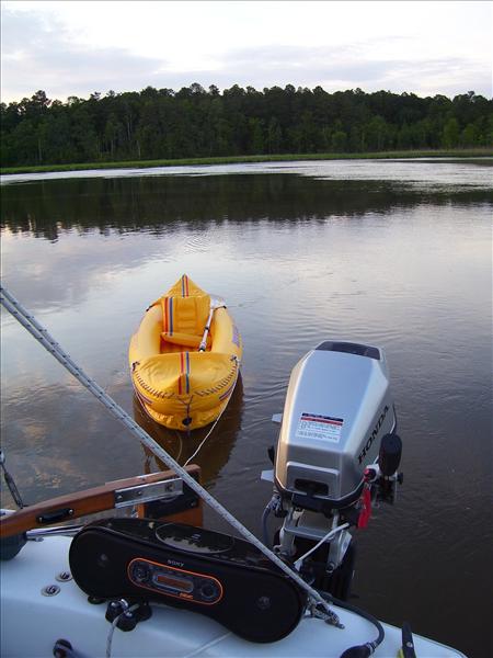
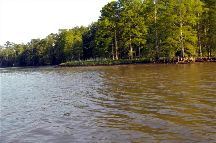
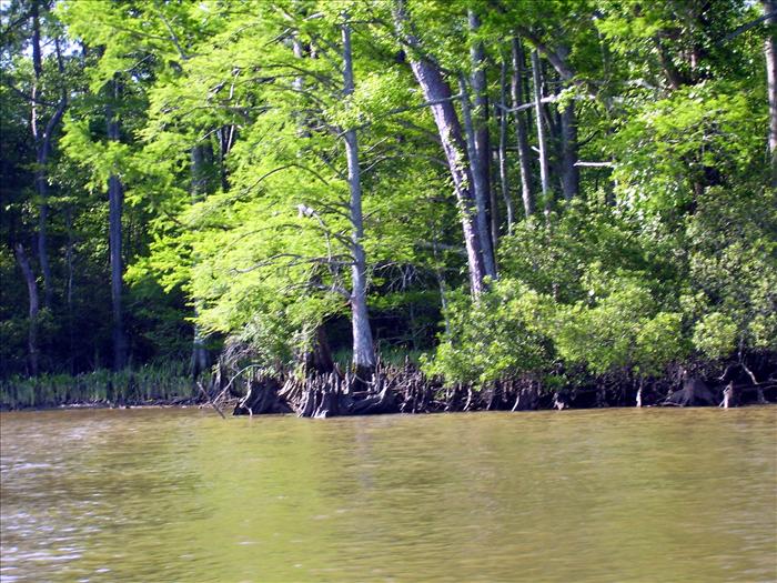
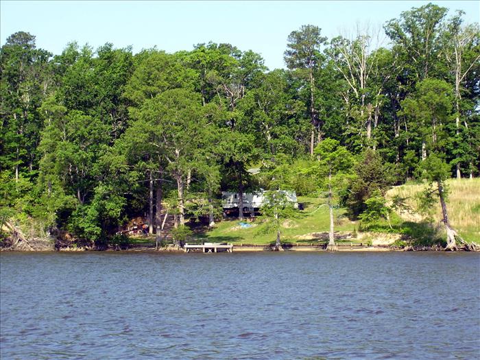
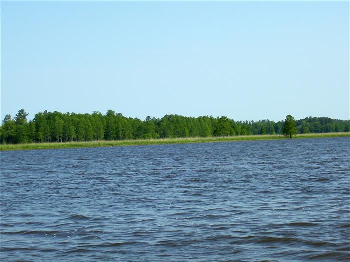
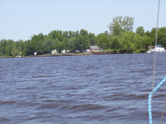
Skiffes Creek was not listed in the cruising guide be it looked good on the chart and I decided to give it the once over. It turned out to be a very nice and well protected anchorage. It was strange going in to see all of the army ships. Once inside though it was nice and quiet. Definitely worth a return trip when looking for peace and quiet. Lawnes Creek was my first choice but I got cold feet because even though the chart showed good water in the creek it appeared that the access was only about two feet deep. I did many Google searches trying to find out more but surprisingly came up empty and decided it was not worth the hassle on this trip - maybe some other time. This is about the easy limit on a long day trip from my slip at Willoughby Bay.
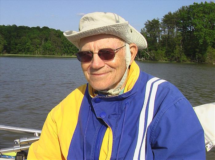
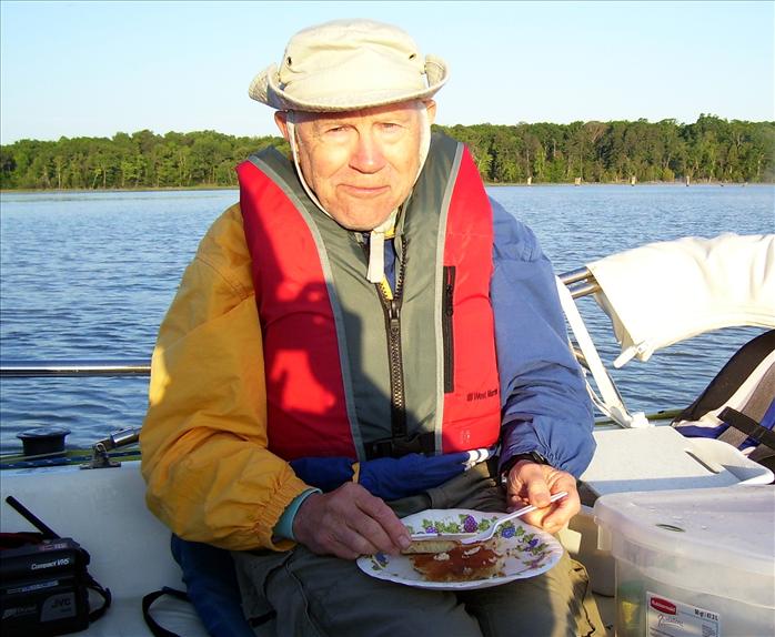
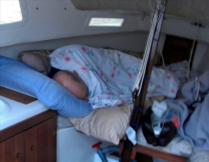
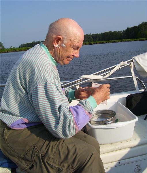
Dad while at anchor on Skiffes Creek
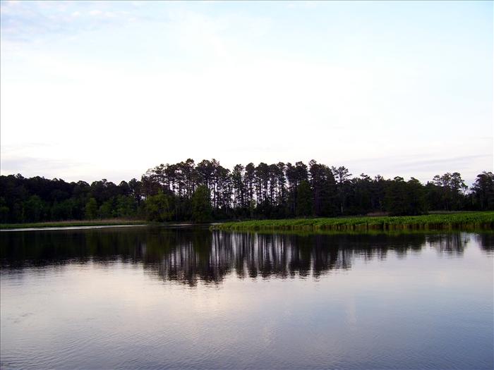
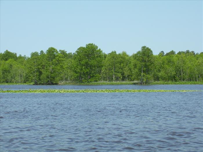
Looking back at the army ships and the approach into Skiffes Creek.
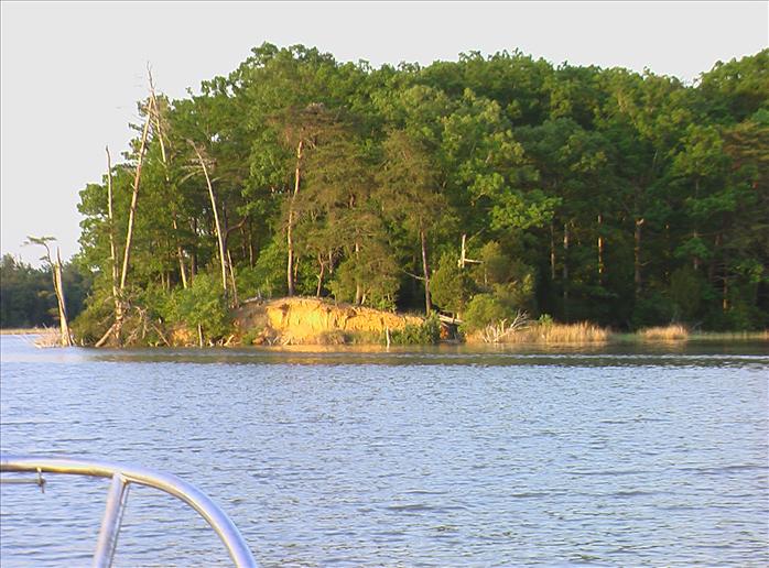
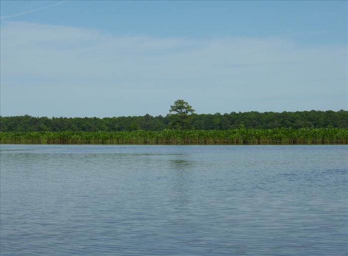
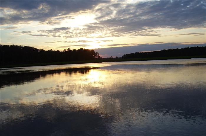
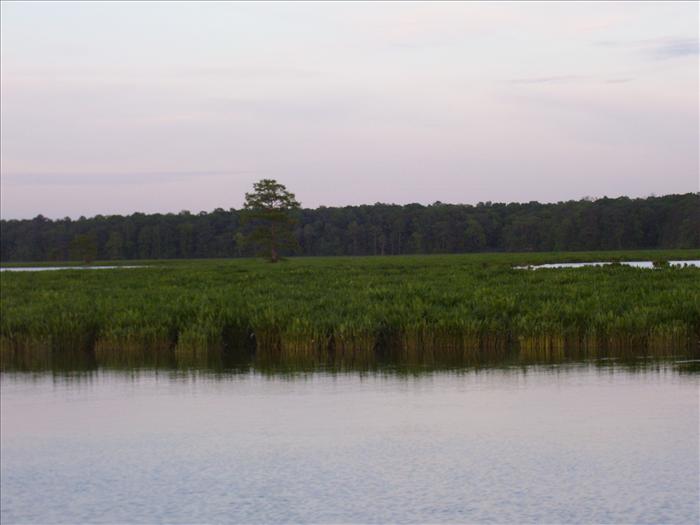
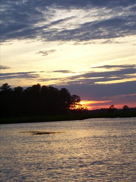
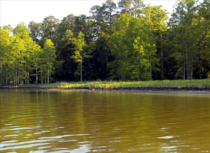
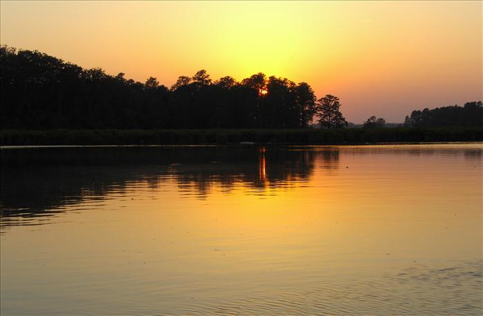
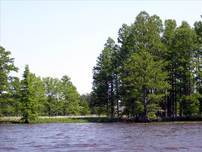
I really like the colors in this picture. The vegetation at the waterline almost looks teal.
WeatherUnderground almanac of wind speed at Norfolk for May 13 - Max gust: 28mph
Monday, May 14th - Skiffes Creek to Gordons Creek just off the Chickahominy
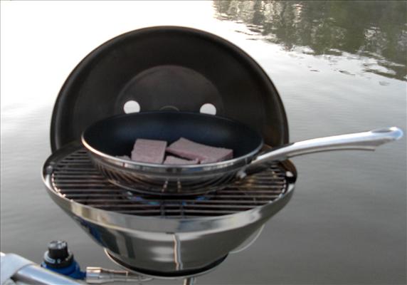
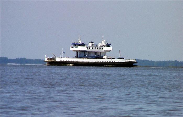
We had a good breakfast of pancakes and spam. After that we got underway about 8:30am I had planning plenty of time to get to the next destination and after getting a close look at Hog Island (where the Jamestown settlers let their hogs run free). Then, we explored Cobham Bay - this was the only anchorage mentioned by the cruising guide on this section of the river. There is supposedly access to Chippokes state park here but I did not any access and the anchorage is so exposed that I could only recommend it if the weather was good. After getting deep into the bay we sailed towards James Island near where the ferries were making their crossings; this was really the only time we sailed the entire trip. It was nice to sail and it is always fun to see the statue of John Smith and the other things on Jamestown Island - there was supposedly a turnout of about 60,000 people for the festivities.
Entering the Chickahominy was a piece of cake. After catching sight of the bridge it took longer to reach that I expected and it takes a while for the bridge operator to stop traffic and do the opening. Not sure why it took longer than most of the other swing bridges I've been through but it must taken closed to 10 minutes from the time traffic was stopped.
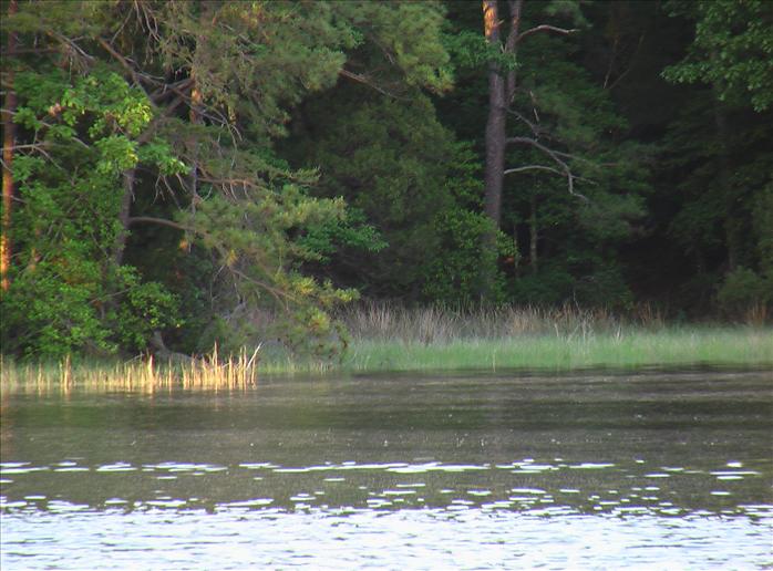
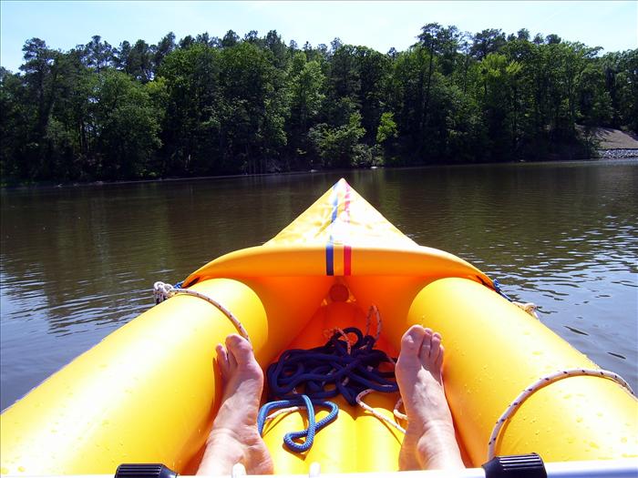
Just past the bridge on the starboard side was Gordons Creek which was another very nice anchorage not mentioned in the cruising guide. From my experience this is the best anchorage on the Chickahominy this side of Walkers Dam. It is a very beautiful creek. I was hoping to be able to get to the main open area shown on the chart but the final approach was just too shallow and I didn't see how I could get in. Of course, I could have raised the dagger board and rudder but it wasn't that important especially since I was pretty positive that I wouldn't be able to get out on the other side. In several spots the creek was wide enough to anchor out of the channel and that's what we did. I tried out my inflatable kayak for the first time; it was very sensitive to the wind and since it was breezy it ended up being more difficult than I expected. But, on a calmer day I think it would have been very nice. It is supposed to be a two-man kayak but I'm not too sure about that; the seats didn't work as well as I would have liked.
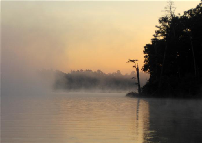
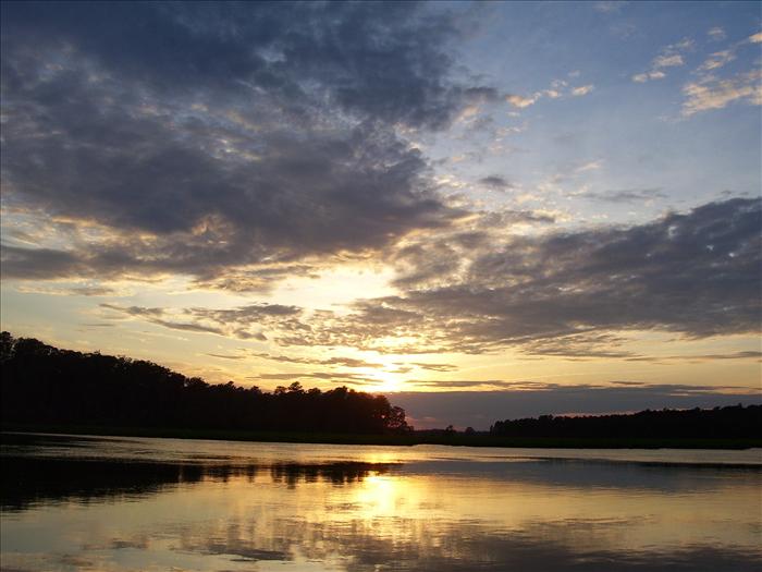
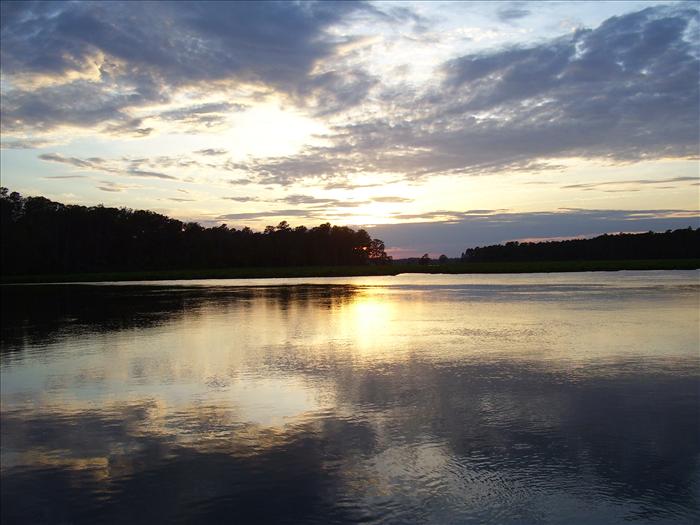
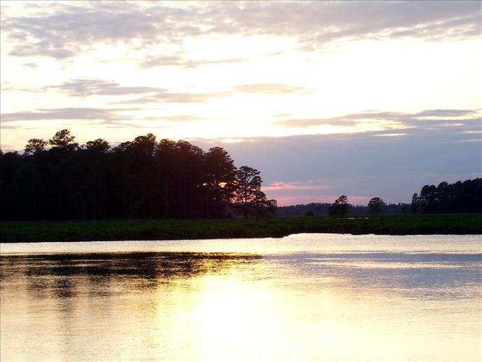
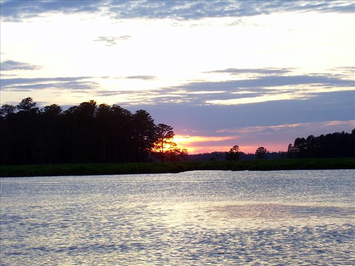
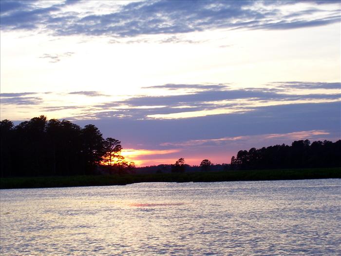
Morning fog at Skiffes Creek
|
|
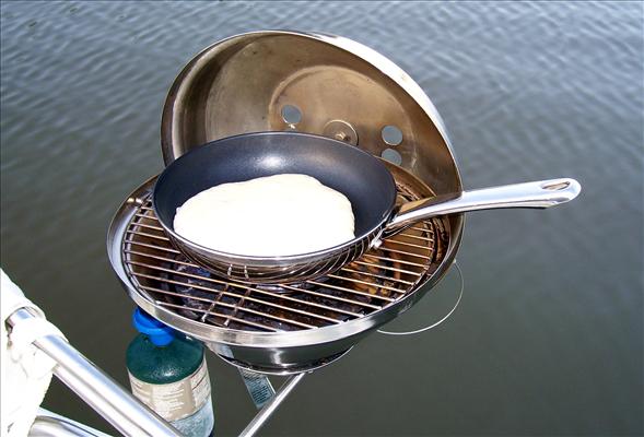
| Spam, the good kind! (not email) | |
| Pancakes | |
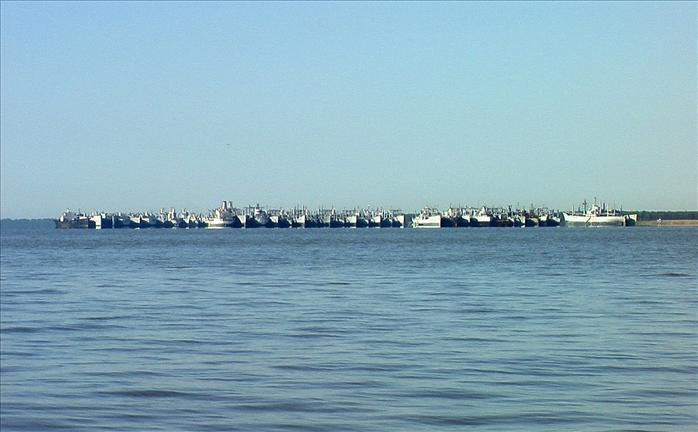
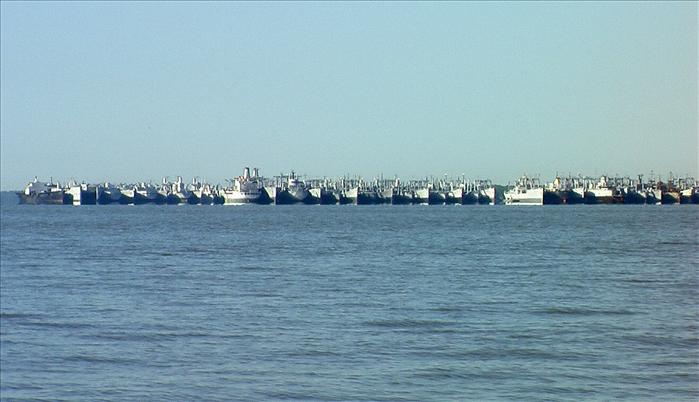
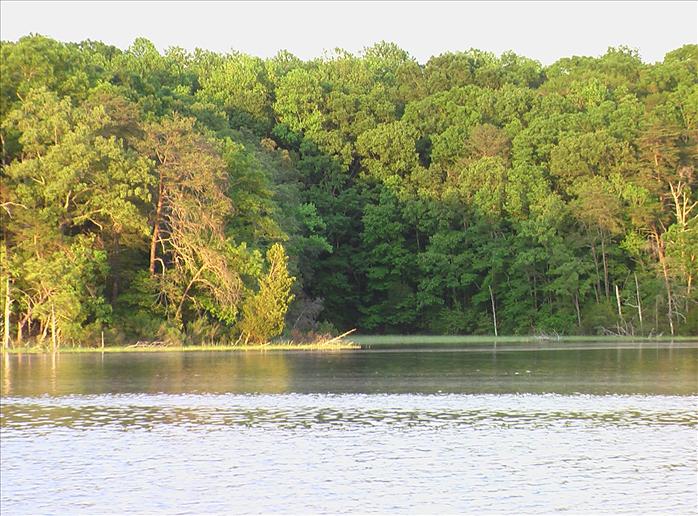
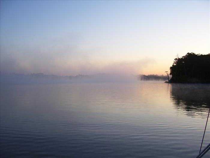
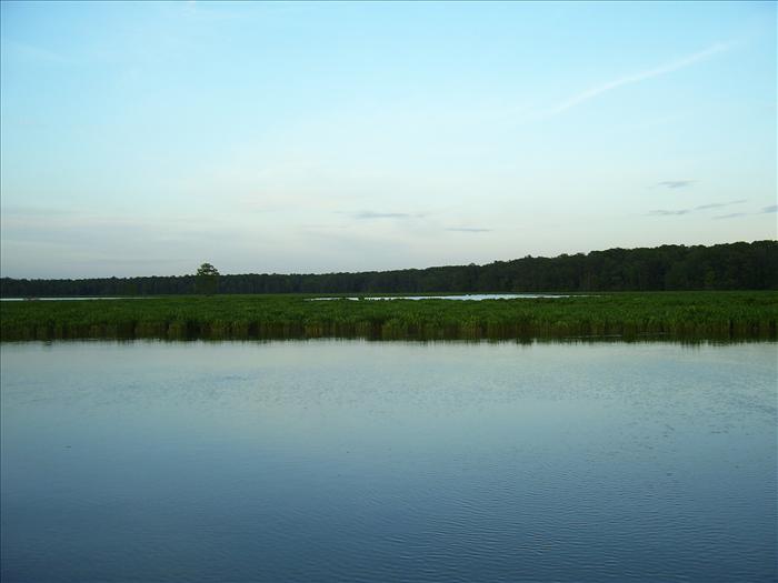
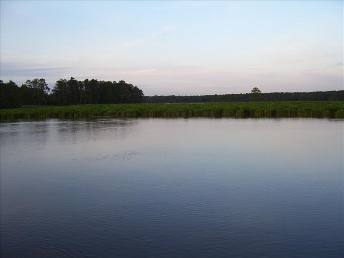
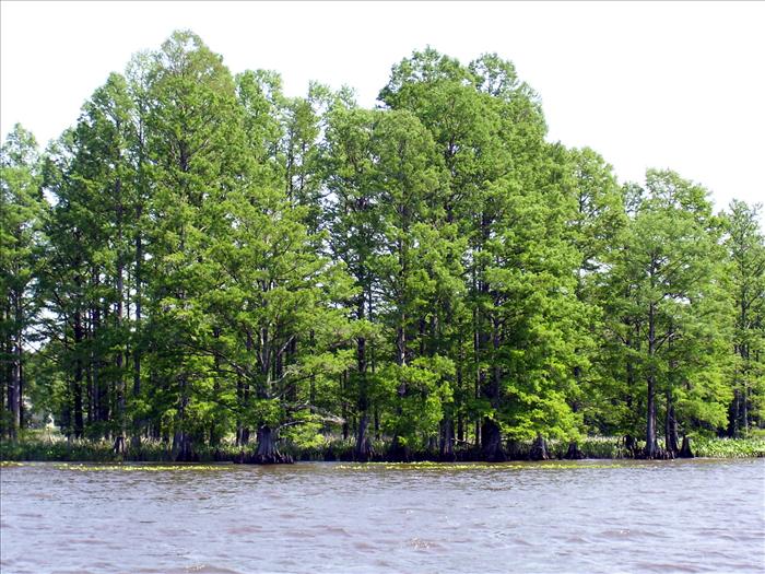
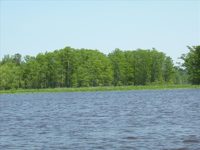
Skiffes Creek enters the James pretty close to the Ghost Fleet. Here are some pics as we exit the creek and head north.
|
|
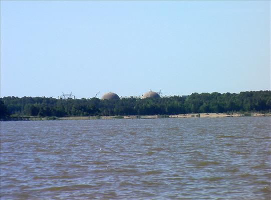
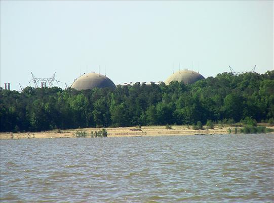
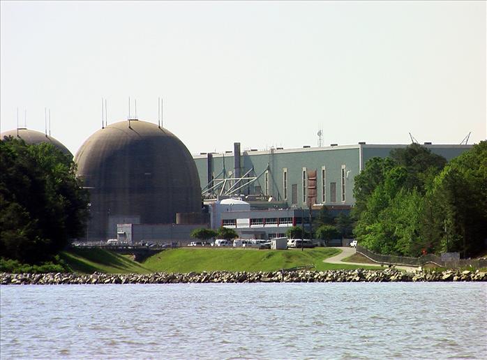
| We slipped along the south coast of the James to get a good look at the Surry Nuclear power plant - I had toured the site as a kid when it was new. I understand that the visitor's center has been long closed. | |
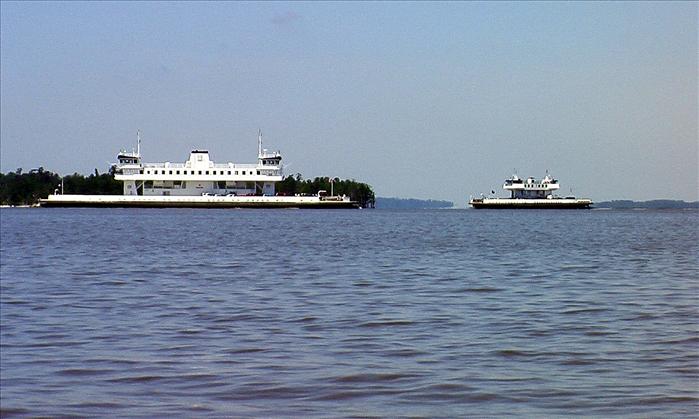
Jamestown ferries.
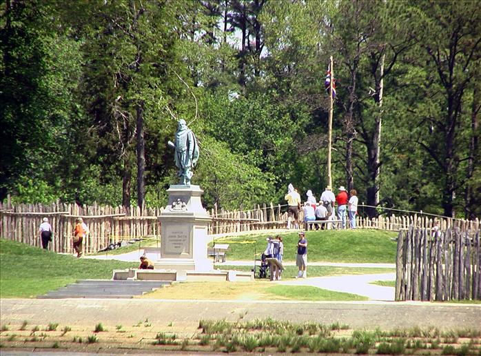
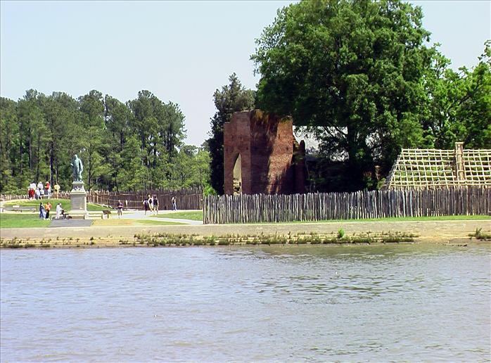
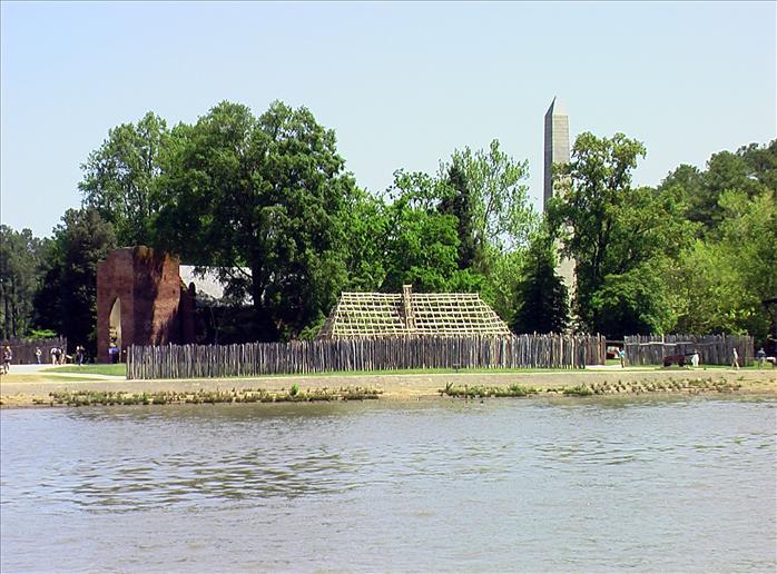
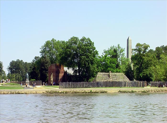
Jamestown Historical Park (not the recreated village)
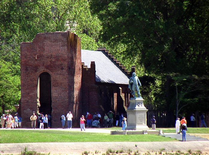
The remnants of the old church with John Smith statue in front.
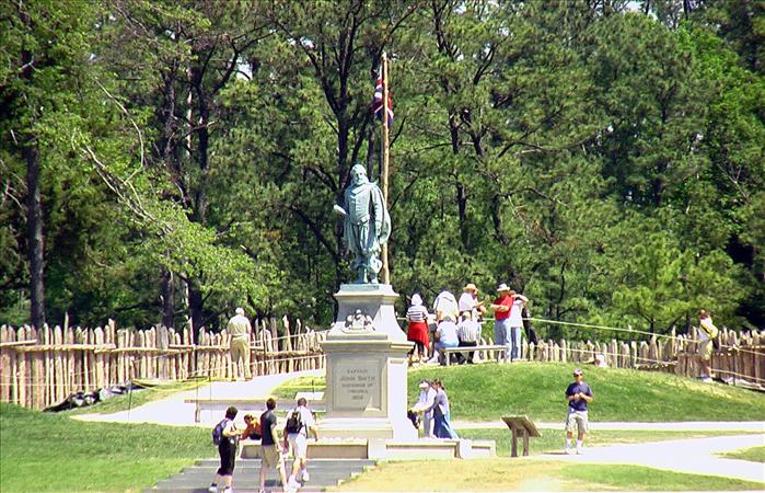
John Smith
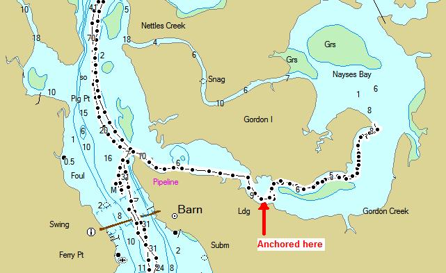
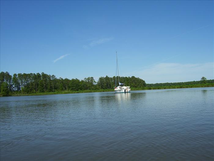
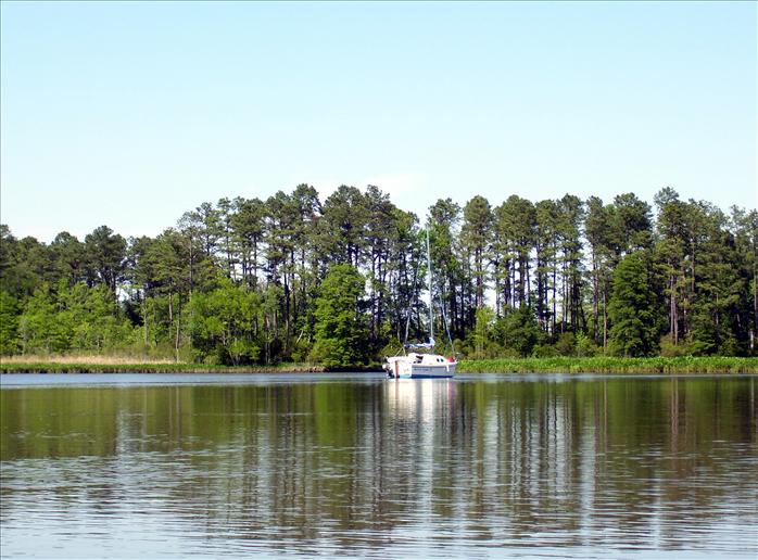
Arrived at Gordons Creek. We up the creek apparently as far as we could go and then came back to what looked like a good anchorage.
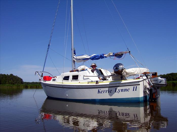
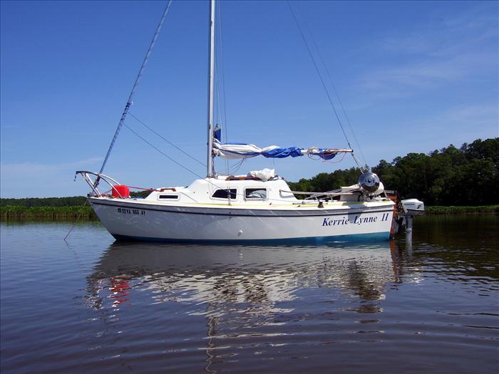
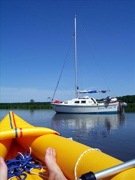
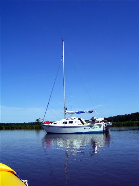
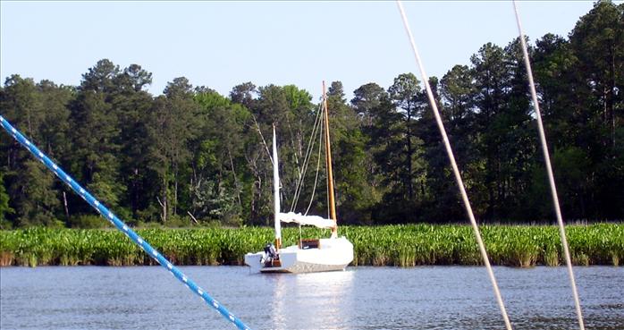
The Kerrie Lynn - picture taken from my inflatable kayak.
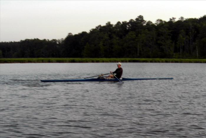
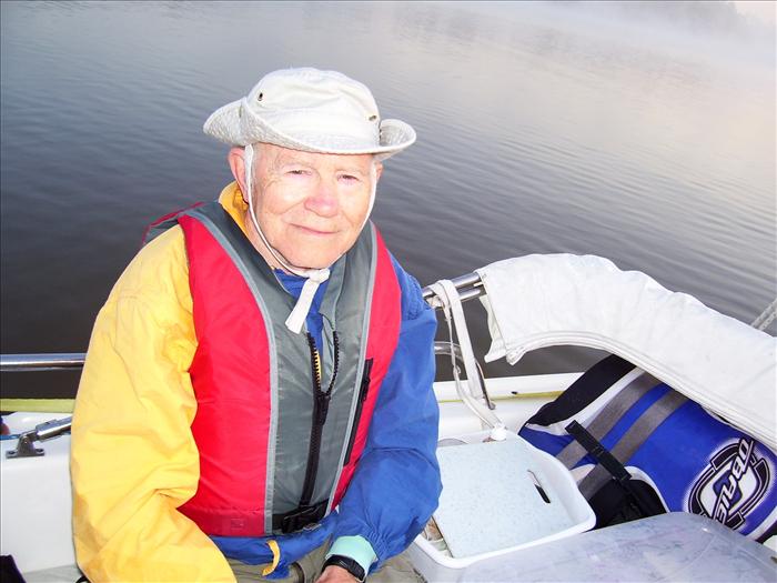
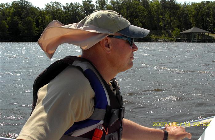
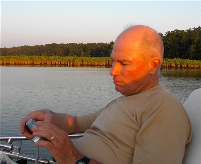
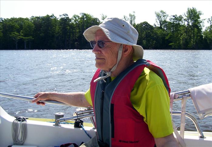
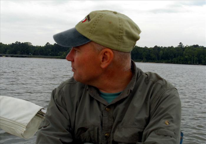
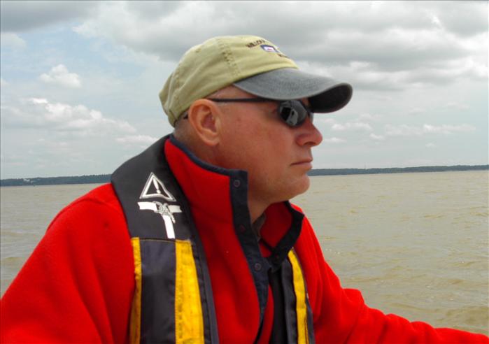
Saw this gentleman all three mornings we were anchored in Gordans Creek.
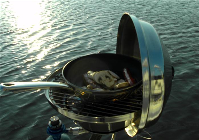
Bratwurst, mushrooms and cheese.
If you have good eyes you can spot the heron.
|
|
| The sun was baking my right arm so a wet towel felt great. | |
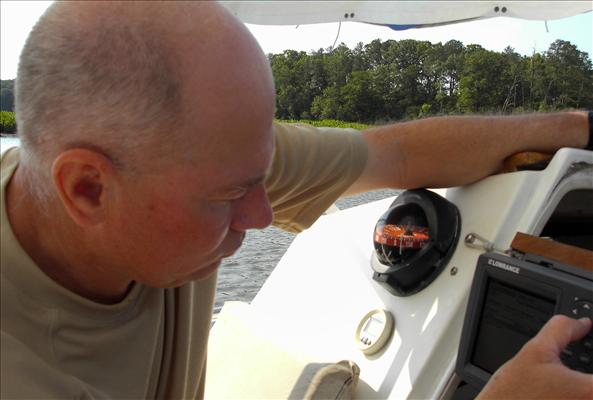
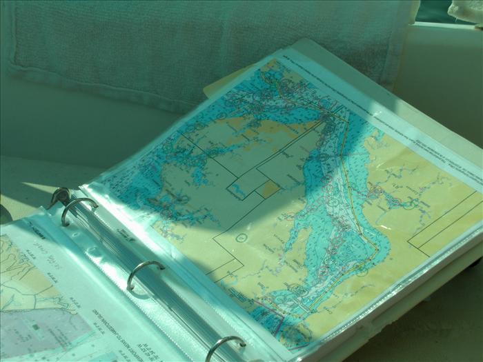
| Looking for things to do while laying over for high winds. I programmed the next few legs of our trip into the GPS. | |
15th, Tue, explore Chickahominy up to Walkers Dam - viewed Smith Island. On way back had lunch at Rivers Rest marina - refueled, dumped trash, topped off water bladder, then finally back to Gordon's creek.
Saw what appeared to be on homemade wooden boat as we were exiting Gordons Creek.
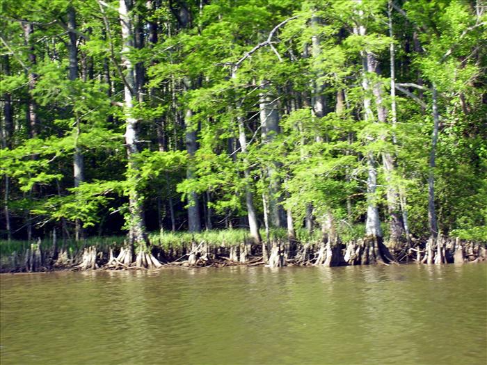
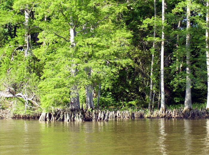
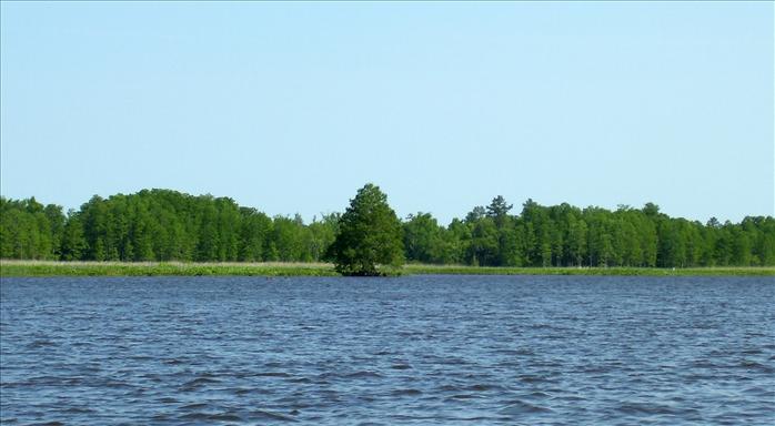
Cypress knees

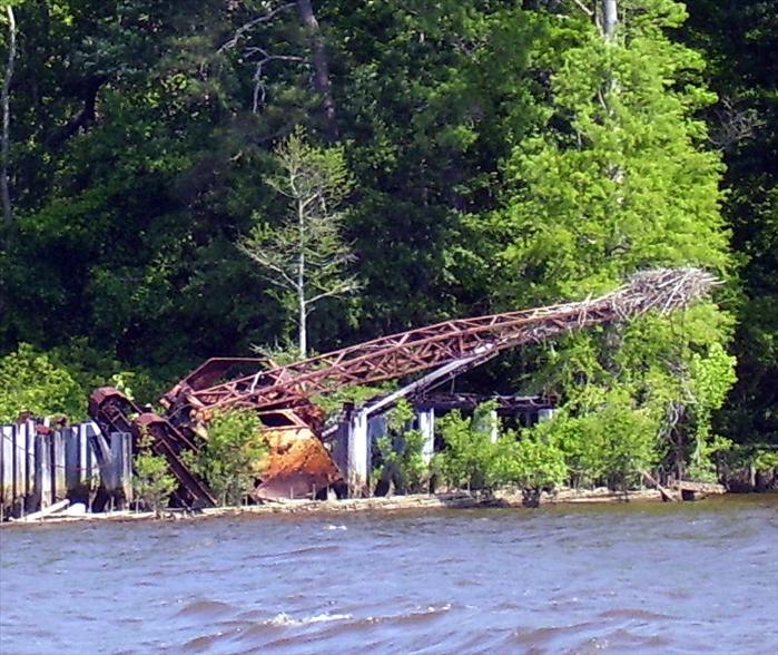
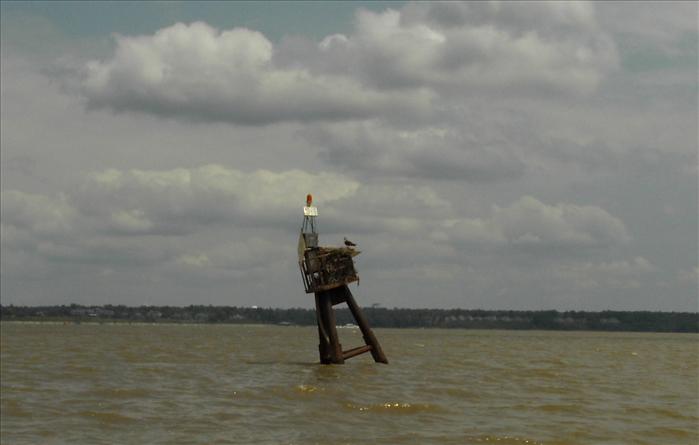
An osprey nest at the end of a rusted old crane.
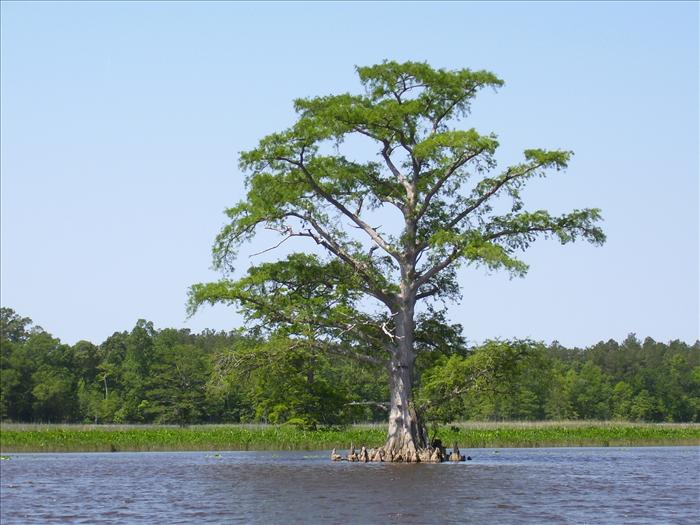
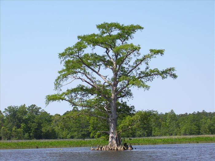
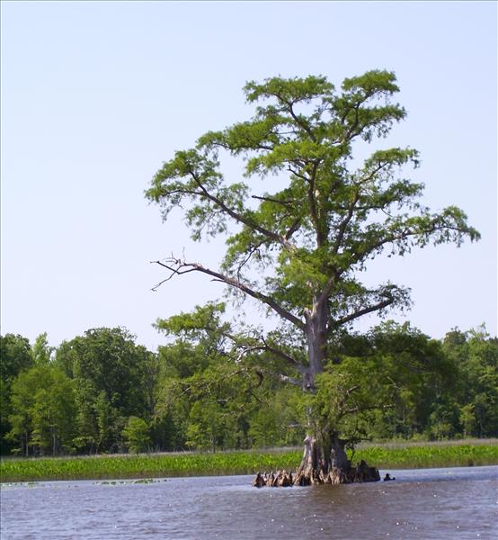
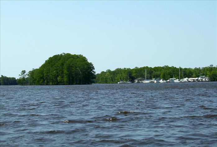
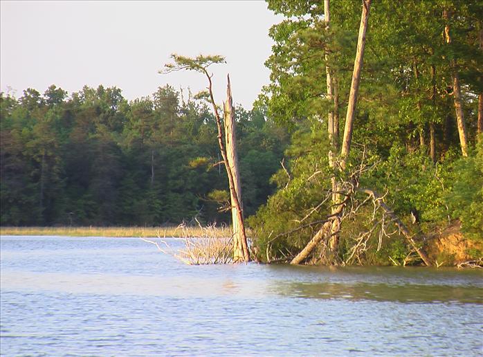
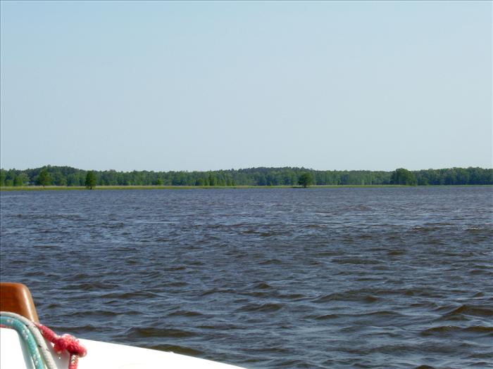
On the left is Smith Island where John Smith was reportedly kidnapped by the Powhatan Indians.
Approaching Walker Dam on the Chickahominy. This was as far as we went. There is a manually operated lock here but the Coast Pilot said that it took two strong men to operate and I didn't want to fool with it.
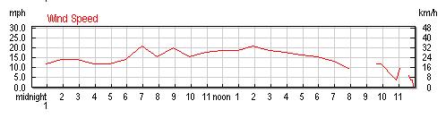
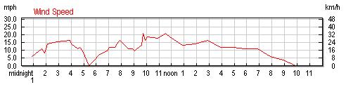
Here were the winds for the 16th observed at New Port News. Max gust was 29mph.
May16th, Wed - we laid over for a day due to high predicted winds. I don't go out on open water when winds are predicted to be in excess of 15mph. The night before the radio talked about high gusts up to 60mph; when the front came through I think the wind was gusting to at least 50mph - it was strong; blew my wine goblet overboard. After the initial front finished blowing through it was not too bad though it rained heavy most of the night.
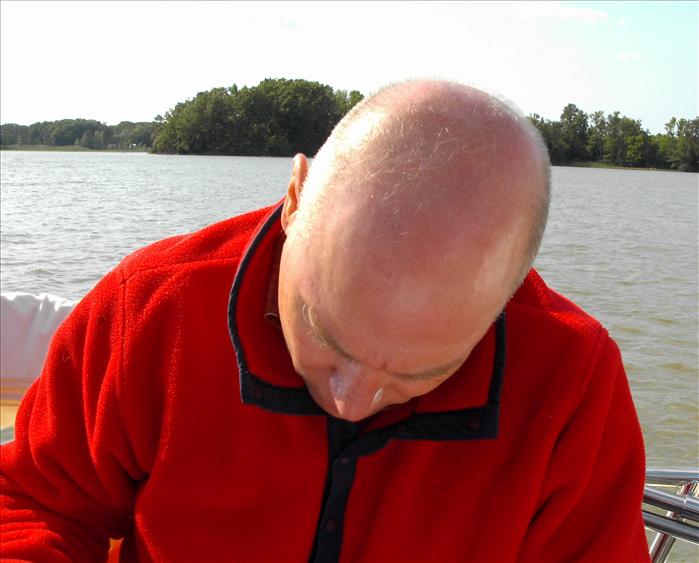
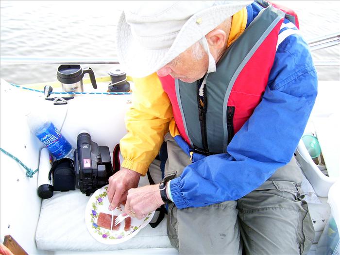
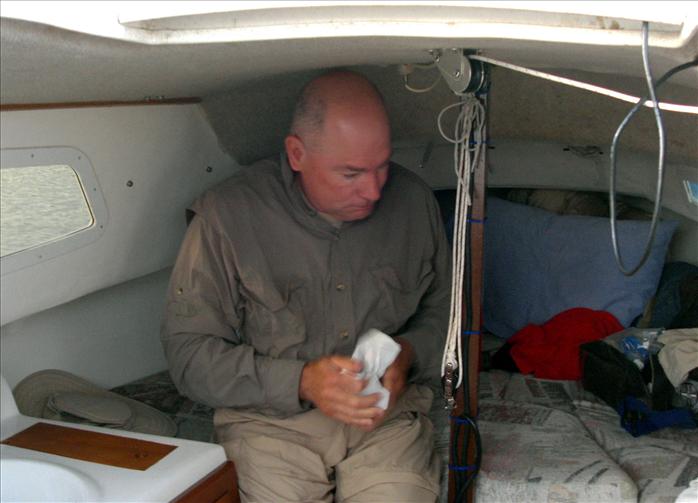
Here dad is shaving

We are at anchor waiting for the bridge to open - it finally opened at about 9:30am after waiting since 7:00am.
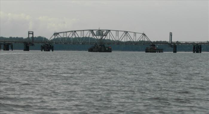
Ferry Point swing bridge on the Chickahominy
May17th- the trip back home
We did the entire trip in one long passage. We got up early and made it to the swing bridge by 6:30am. The bridge didn't respond to my request for an opening so I checked my copy of the Coast Pilot and sure enough the bridge opening hours began at 7am. At 7:01 I hailed the bridge and they said they would open right away. Unfortunately, something must have gotten wet from the storm last night as the operator reported that the "gates" had lost power and that he would have to have an electrician come out. We anchored out and watched what appeared to be a crew of about four people work on the bridge until we finally got our opening at 9:30am. I was disappointed but not upset it was pretty much beyond their control. After that we made a bee-line for home.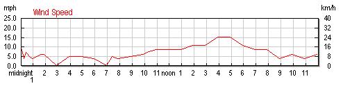
The 15mph winds were right when were crossing the Monitor Merrimac bridge tunnel. One of my least favorite spots due to the frequently rough water. It was very rough but we did slowed down and did fine. The clouds to the north were very ominous dark black and threatening but it just skirted us and except for the winds were no problem.
Winds were not nearly as bad as predicted but the temperature really dropped and it was a cold messy day I was glad we were home off the water.
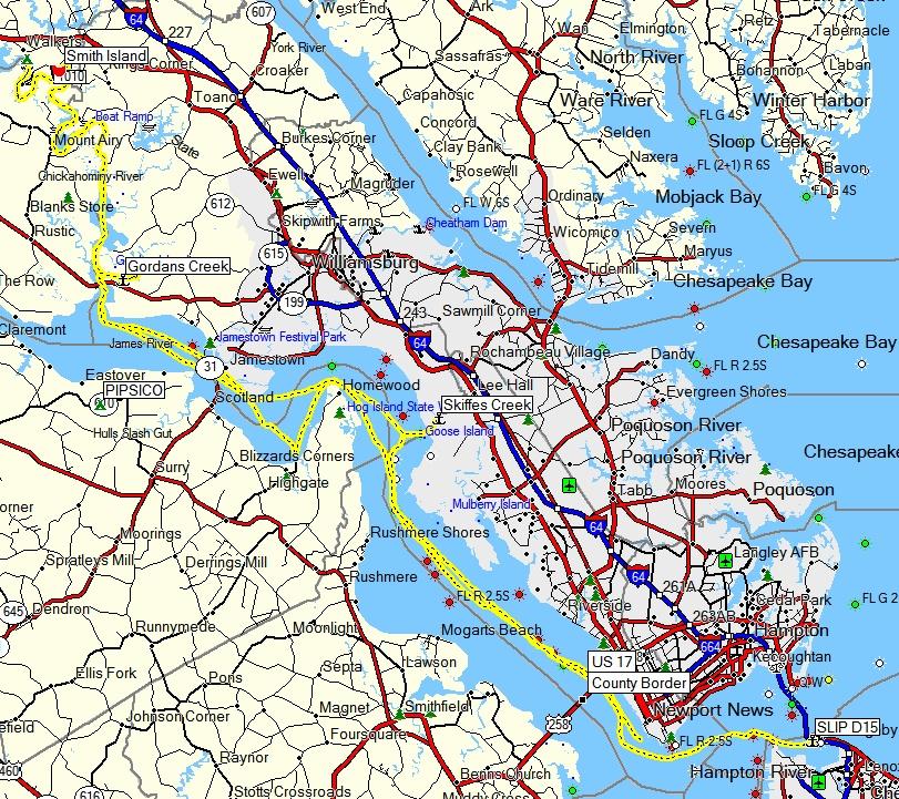
Here is the track of our trip.
This page last updated on 1/29/2012 6:50:16 AM. If you have comments or suggestions, email me at webmaster@jscheetz.com